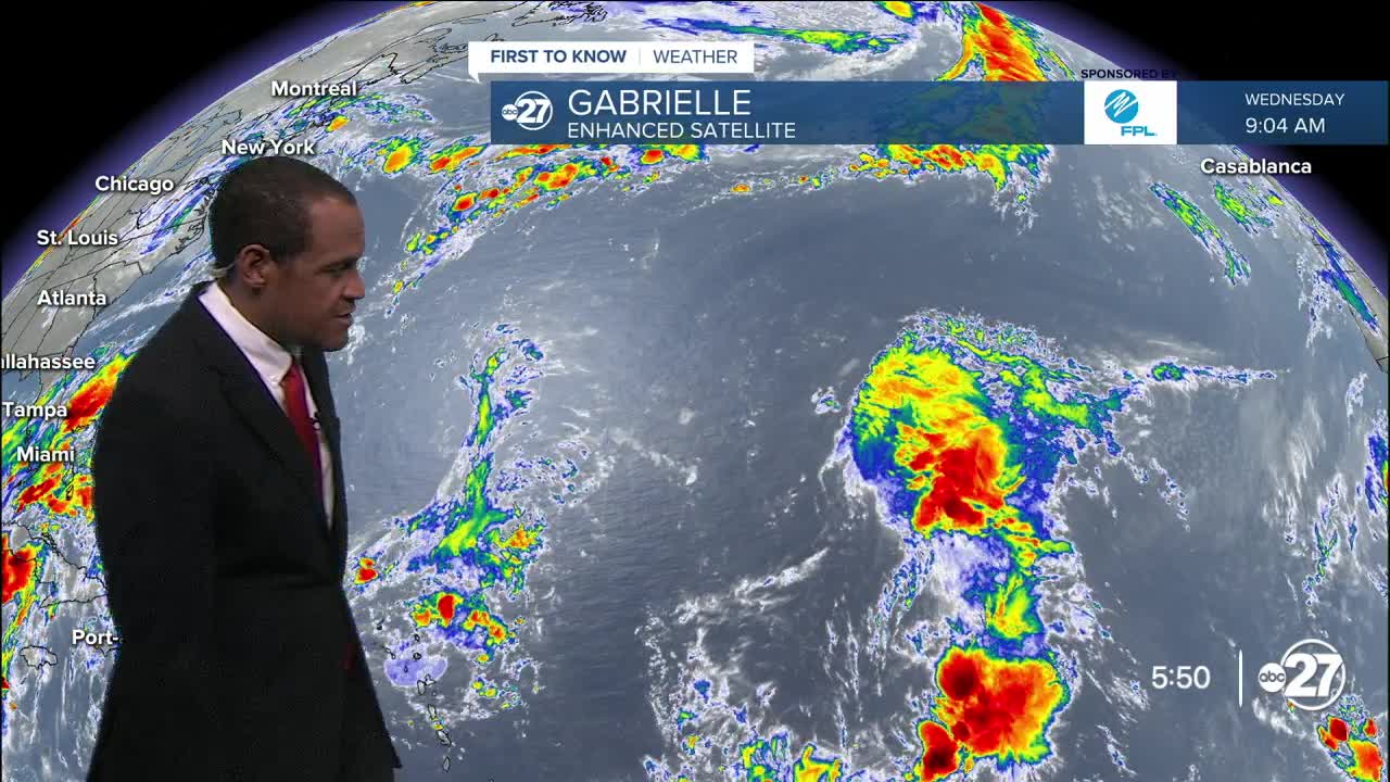


TALLAHASSEE, FL. — Tropical Storm Gabrielle is set to gradually gain some organization and strength in the days to come as it remains over the Atlantic Ocaen waters throughout its duration.
Gabrielle is moving northwest at 14 mph Wednesday night, nearly 1000 miles from the northern Leeward Islands in the Lesser Antilles.
The storm's forecast path will keep it away from the Caribbean island chain, with a projected turn toward the north early next week, far off the US east coast.
Gabrielle is set to be a hurricane by that point, possibly near Bermuda.
ORIGINAL ARTICLE (09/17/2025 11:00 a.m.)
After weeks of quiet the tropics have produced another named storm. This is the seventh named storm of the season, which is 5 storms behind what we usually see this time of year.
This system started off as a tropical wave off the coast of Africa at the end of last week. The chances of development were low at first, and it was unlikely to form into anything substantial. On Tuesday the 16th, the system moved into favorable conditions and become Invest-AL22 (Tropical Investment in the Atlantic 22).
This morning at 5am Invest-AL22 became a Tropical Depression with a more defined center, and max winds of 35mph. As of 11am this morning the localized winds around the center were reportedly 45 mph. This is beyond the threshold needed for a Tropical Storm designation, and it was named Gabrielle.
Gabrielle will likely stay in the Atlantic, however it has the potential to strengthen into a Category 1 Hurricane by early morning Sunday.
There is another area to watch off the coast of Africa, but as of now the chances of development are low.
Want to see more local news? Visit the WTXL ABC 27 Website.
Stay in touch with us anywhere, anytime.
