



TALLAHASSEE, Fla. (WTXL) — Update
Sept. 1st 5 p.m.
Edouard made landfall near Johnson Bayou, Louisiana, in the early afternoon hours of Tuesday, with peak winds of 60 mph near the center of circulation. The storm will lose its form over land in the next 24 hours and beyond while still producing times of heavy rain and excessive rainfall in portions of southeast Texas.
Update
Sept. 1st 11 A.M.
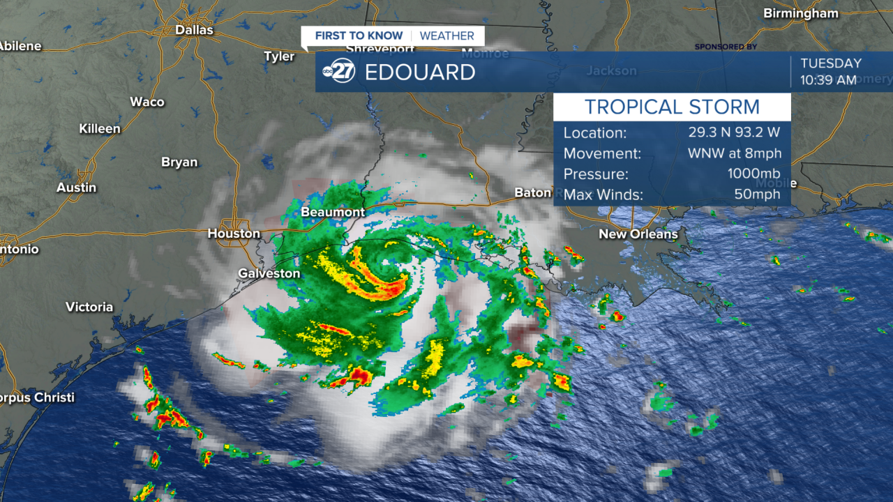
Tropical Storm Edouard has gained strength and now has max winds at 50 mph. It has speed up in its movement as well from yesterday now traveling at 8 mph.

The storm can gain more strength before making landfall later this afternoon in southeastern Texas and southwestern Louisiana. It wont have hurricane strength, but it could become the strongest tropical storm so far this season. That position is currently held by Tropical Storm Bertha which had 60 mph max winds.
This area was hit earlier this season when Tropical Storm Arthur made landfall in Galveston, Texas. Arthur caused flash flooding in Texas and Louisiana. The peak rainfall for Edouard could be around 15 inches. The storm surge could be as high as 3-5 feet along the coastline where it makes landfall.
Original
Aug. 31st
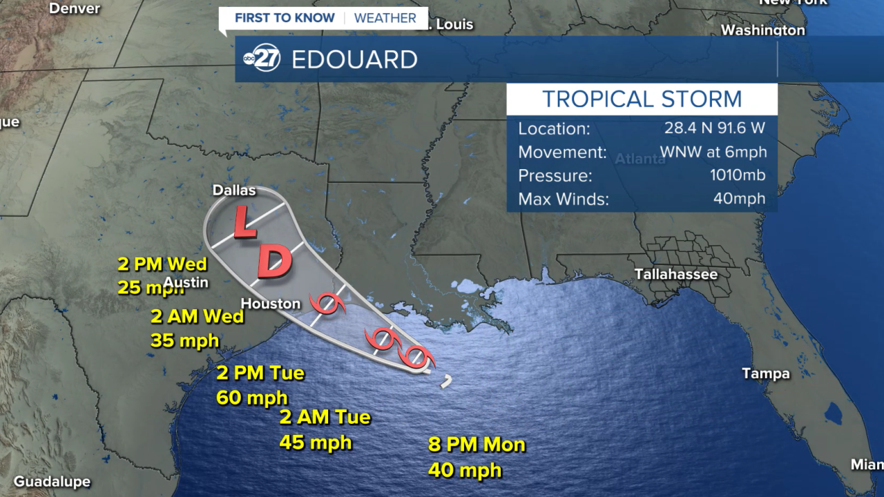
The compact tropical cyclone south of the Louisiana coast has developed enough strength Monday evening to become tropical storm Edouard.
The highest wind speeds in Edouard are 40 mph as it moves west-northwest — well away from the Big Bend region — at about 6 mph.
The storm is expected to go to the west-northwest, then northwest, through midweek, taking the system into the Sabine River region of southwestern Louisiana and southeastern Texas as a slightly stronger tropical storm.
Want to see more local news? Visit the WTXL ABC 27 Website.
Stay in touch with us anywhere, anytime.
