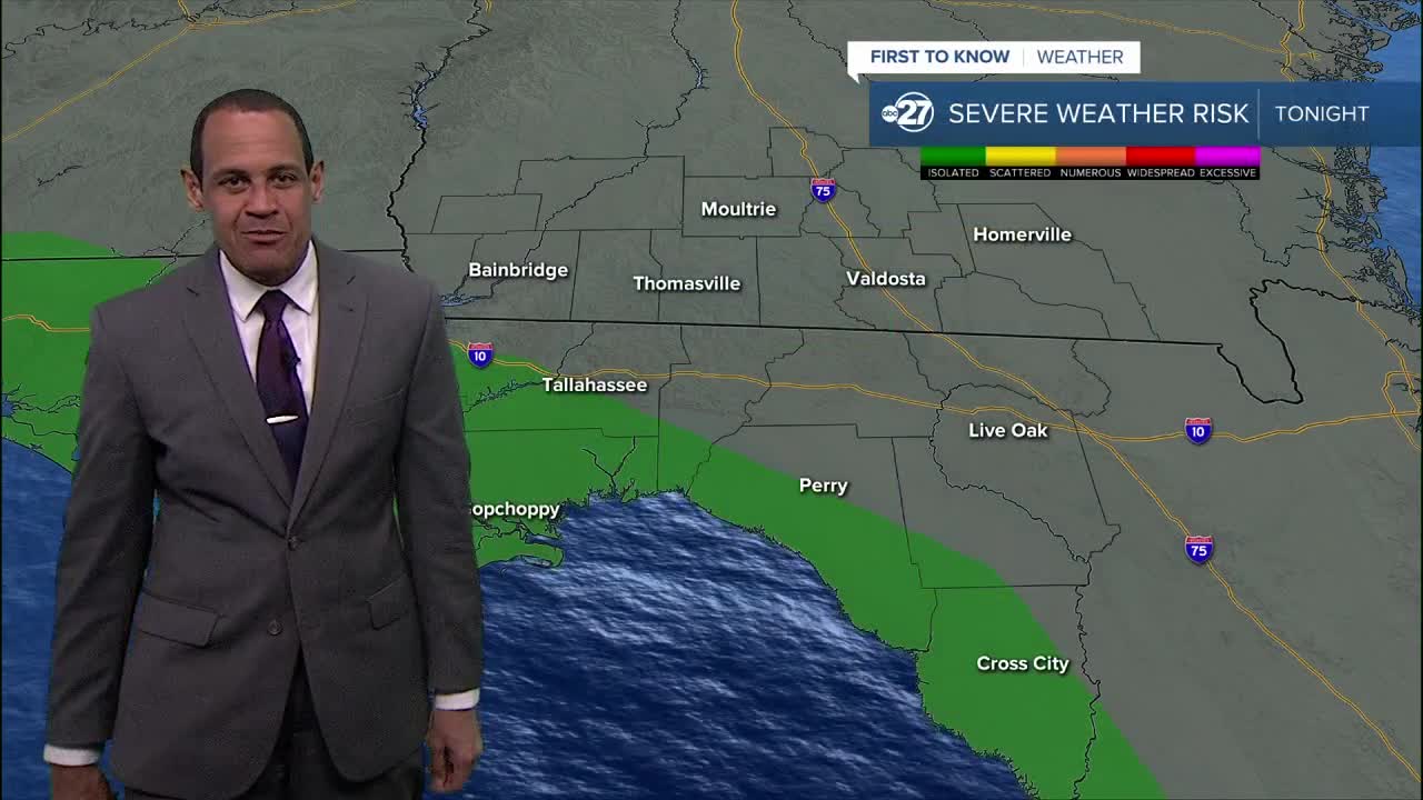
TALLAHASSEE, Fla. (WTXL) — A cold front and its associated area of low pressure will drive up cloud cover across the area this evening.
The earliest arrival of rain and thunder will be near the Forgotten Coast around 9 p.m., while the broader swath of steady rain will move into western tri-state regions shortly afterwards. The line of rain will march eastward through the early morning hours of Saturday.
Most areas will get a dose of rain and modest wind gusts. Locations closer to the coast can encounter a few stronger wind gusts. Severe-level wind gusts are more likely at the coast and offshore. A small chance for a brief spin-up waterspout or tornado exists south of I-10 in the western Big Bend, and near the immediate coast of the eastern shores of Apalachee Bay.
The bulk of the rain action will push east and out of the Suwannee River valley after sunrise, with partial clearing and a leftover westerly breeze. The afternoon will be drier.
Forecast lows will be around 60°, and highs will be in the upper 60s to mid 70s.
Sunday offers scattered clouds and dry conditions. A strong storm complex will enter the region later Monday and Tuesday, carrying a higher severe-weather risk into the region.
--Casanova Nurse, Chief Meteorologist


