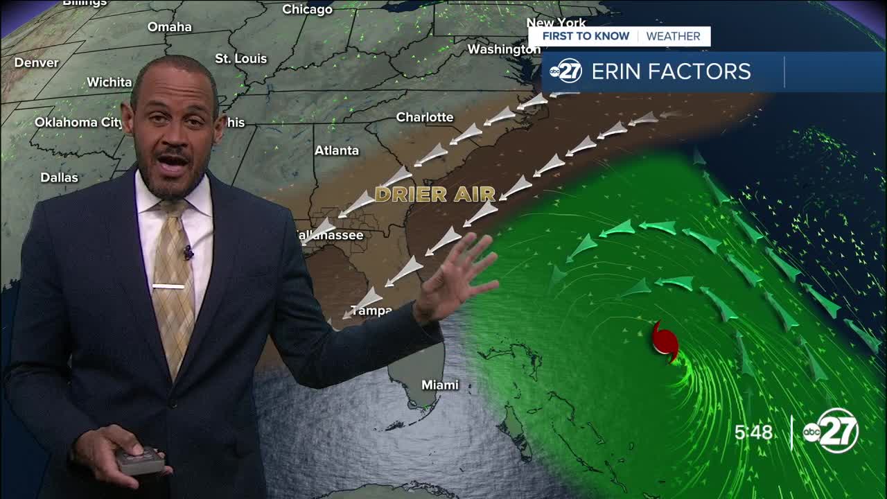


TALLAHASSEE, Fla. (WTXL) — As Hurricane Erin grazes the southeastern Bahamas on its eventual turn to the north, well off the U.S. east coast, a couple more waves of tropical moisture are in the eastern side of the Atlantic Ocean.
One system that is still disorganized and far from any land is pegged with a medium chance to form into a tropical depression later this week as it is forecast to move west-northwest, generally toward the islands of the Lesser Antilles.
Longer-rang projections indicate a modest tropical system with a suggestion of a turn to the northwest near the Bahamas, but forecast data beyond seven days is highly unreliable.
As of now, there are no dangers to the Big Bend coming from tropical activity within the next week.
Want to see more local news? Visit the WTXL ABC 27 Website.
Stay in touch with us anywhere, anytime.
