


TALLAHASSEE, Fla. (WTXL) — The cold front will completely make its way through the Big Bend and south Georgia through the rest of the evening, eventually dropping overnight lows to the upper 40s and low 50s for Sunday night.
We will welcome back the sunshine Monday, but with it is breezy and very dry conditions.
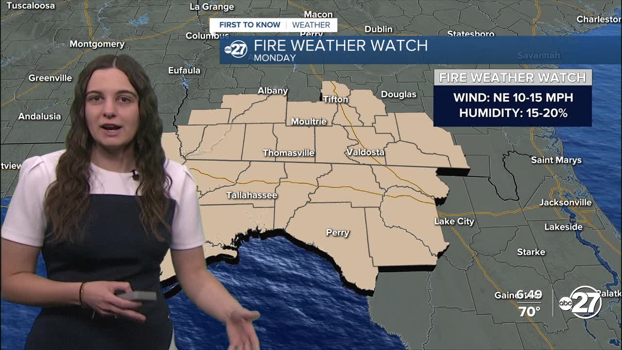
Humidity levels are expected to be between 15-20% Monday with winds coming out of the northeast at 10-15 mph, gusting to 20 mph at times. This is going to increase the fire risk significantly, especially with our area already being dry.
A Fire Weather Watch is in effect for Monday for all counties.

It is important that all burn bans are followed as any fires that start, can and will spread very quickly.
Throughout the rest of the week, we will stay dry and warm with daytime highs eventually getting back to the upper 80s by the end of the week.
Want to see more local news? Visit the WTXL ABC 27 Website.
Stay in touch with us anywhere, anytime.
