

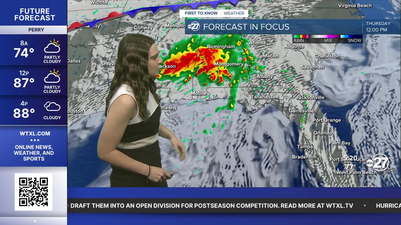


TALLAHASSEE, WTXL. — WHAT: A Marginal Risk (level 1 out of 5) for severe weather has been issued for Thursday. This is in anticipation of the remnants of Tropical Storm Arthur which has transitioned to a post-tropical cyclone after making landfall in Texas Wednesday. Click here for more details on the tropical event.
WHEN: Scattered showers and thunder can start around 11 A.M., but the bigger severe and flood threat will be from 2 P.M.-8 P.M.
THREATS: Strong Gusts of at least 58 mph and Flash Flooding will be the main threats along with frequent lightning. The chance for large hail and tornadoes is low, but cannot be ruled out completely.
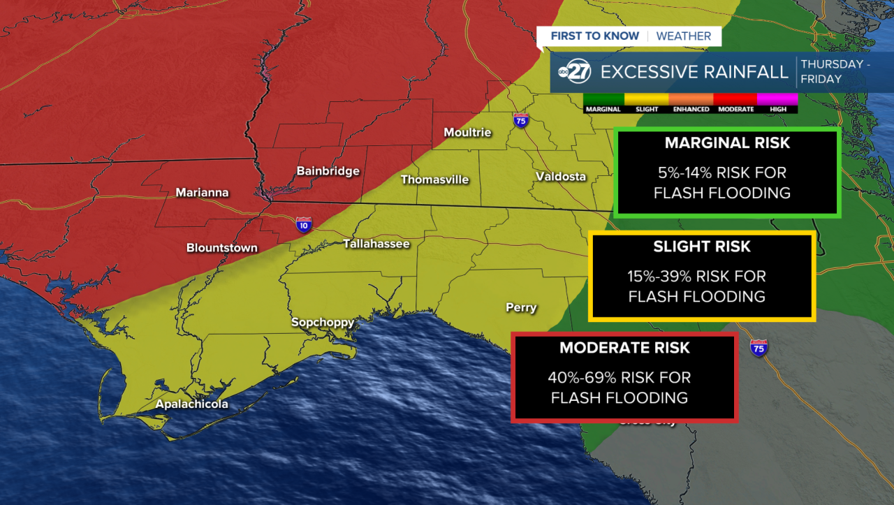
There is a Moderate Risk (40%-69%) of excessive rainfall, with the majority of our area in Slight or Marginal Risk. For the most part flooding will be isolated toward low lying areas and areas with poor drainage. Rainfall totals could reach a maximum of 2"-4" in the worst hit areas. The majority of the rainfall will be in south Georgia as the remnants of Arthur will be sticking to our north.
Want to see more local news? Visit the WTXL ABC 27 Website.
Stay in touch with us anywhere, anytime.
