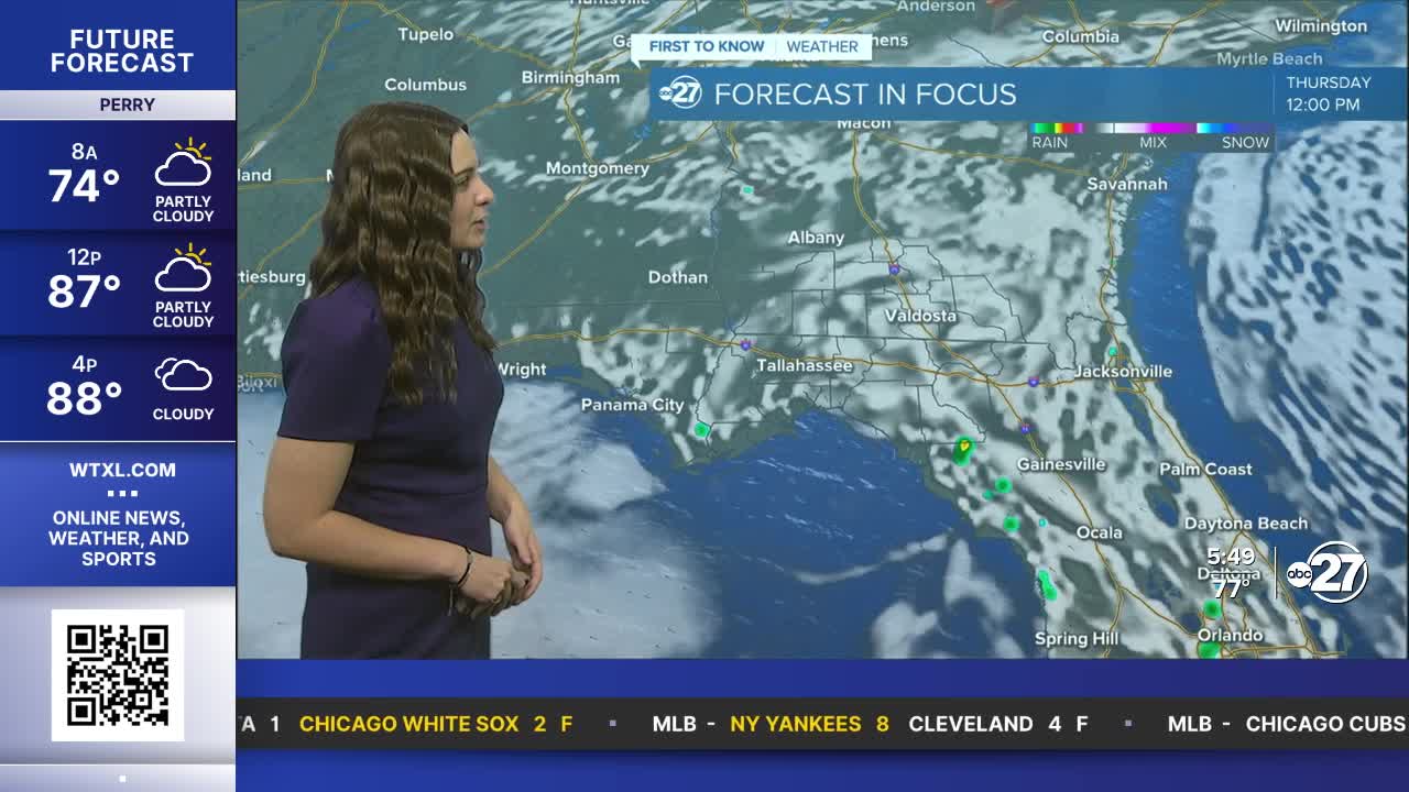


TALLAHASSEE, Fla. (WTXL) — Expected a good mix of sun and clouds throughout Thursday with isolated showers expected yet again in the afternoon hours.
These showers will not linger too late into the evening and eventually dissipate overnight.
Showers aren't going to stop our temperatures from rising though. Low to mid 90s for highs Thursday and upper 90s expected both Friday and Saturday. Feels like temperatures will be in the upper 90s and triple digits. This will pose a Moderate to Major heat risk across the area so make sure you are staying cool and hydrated!
As we move into the weekend, showers and storms will become more scattered as a front drops down from the north. Although the front won't pass through, it will stall just north, providing ample amounts of moisture for showers and storms. Any outdoor plans over the weekend should have backups.
We will eventually slightly cool down to our average high of the low 90s by early next week, but we are in for the heat until then.
Want to see more local news? Visit the WTXL ABC 27 Website.
Stay in touch with us anywhere, anytime.
