


TALLAHASSEE, Fla. (WTXL) — Get ready for a very summer-like weekend as temperatures will climb into the upper 90s with afternoon showers and storms.
It will start Friday afternoon where temperatures are expected to reach the mid to upper 90s, but feel like the triple digits for just about everyone.

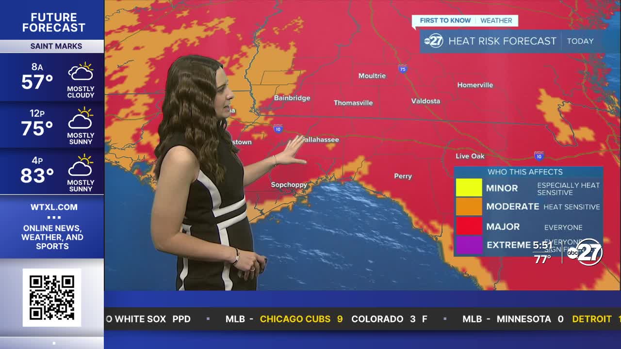
Due to this, everyone across the Big Bend and south Georgia are in a Major Heat Risk for Friday.

This risk will continue into Saturday as temperatures will be even hotter. Everyone will be in the upper 90s with heat indices between 105° - 108°. Make sure you are staying cool and hydrated. It is advised that activities stay indoors not only due to the heat, but also due to the afternoon showers and storms.
Activity will become more scattered through the weekend afternoons as a front from the north increases moisture.
The front will not pass through, but instead linger just to our north. This will allow for rain chances to stay through the start of next week with another front being pushed in by Tuesday. This will provide continued moisture, allowing for activity to hang with us through a majority of next week.
Drought conditions continue to improve, and with more rain expected next week, we expect conditions to improve further.
Want to see more local news? Visit the WTXL ABC 27 Website.
Stay in touch with us anywhere, anytime.
