

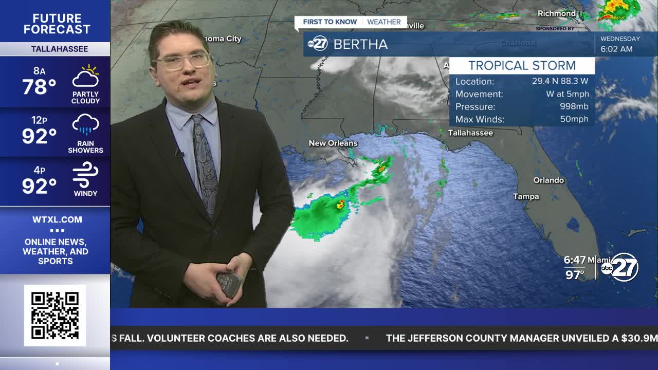


TALLAHASSEE, FL (WTXL) — We are starting off very warm in the mid to upper 70s and even a few low 80s. Scattered downpours will graze the edge of our area through the morning. These could push further east through the afternoon, but will be cut off around Tallahassee.
By midday temperatures will be in the upper 80s only getting to the low to mid 90s for our highs. With lower cloud coverage, and less rain, we are going to continue a warming trend these next few days. Wind gusts can still peak around 30 mph across our area.
High pressure settles in for these next few days dropping the rain chances, and allowing us to warm into the mid 90s. The heat index could surpass 105° so find ways to stay cool heading to the weekend.
Want to see more local news? Visit the WTXL ABC 27 Website.
Stay in touch with us anywhere, anytime.
