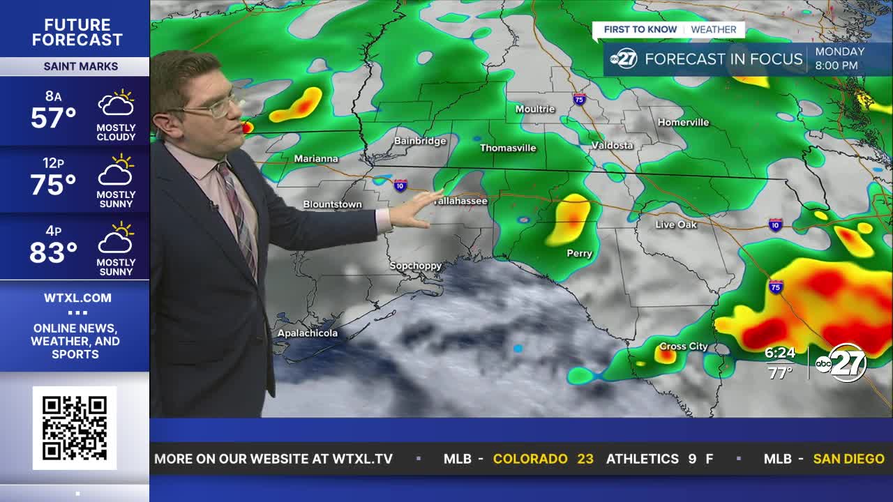


TALLAHASSEE, WTXL. — Temperatures are starting off in the upper to mid 70s with a lot of humidity. It will feel really oppressive out there as you step outside. A few storms and showers are hanging around the Florida Georgia border, but they should clear as the sun rises. They will likely remain just spotty showers through the late morning.
It will be a very hot and humid midday today. Highs will be hanging around the upper 80s and low 90s with the heat index in the low 100s. Luckily the clouds should help make it feel a little cooler, and of course we have the storms and showers once again. These will really hit their stride around 2PM and will drop the temperatures even more. Severe weather is not expected, but still be weather aware.
Storms and showers will be the main impact this week, as the chances are fairly high through the weekend.
Want to see more local news? Visit the WTXL ABC 27 Website.
Stay in touch with us anywhere, anytime.
