


TALLAHASSEE, Fla. (WTXL) — Layers of cloud cover have limited today's sunshine and warming. Not many showers have been detected but a brief sprinkle is possible through early evening in some tri-state and Lake Seminole counties.
It may time some time for the clouds to break, so a mainly cloudy trend is anticipated through the night. This will slow the cooling trend somewhat, though daytime temps haven't been incredibly hot to begin with. That will mean evening temperatures near 80° will fall into the 70s through midnight, and morning lows Wednesday will be mostly in the upper 60s.
Clouds will linger for a bit before sunrise, but as slightly drier air arrives through midweek, we'll have a further increase in sunshine and clouds will become more patchy. A stray afternoon shower can't be ruled out, but development will be very isolated. Highs Wednesday will be in the mid to upper 80s, depending on how clear the sky becomes throughout the day.
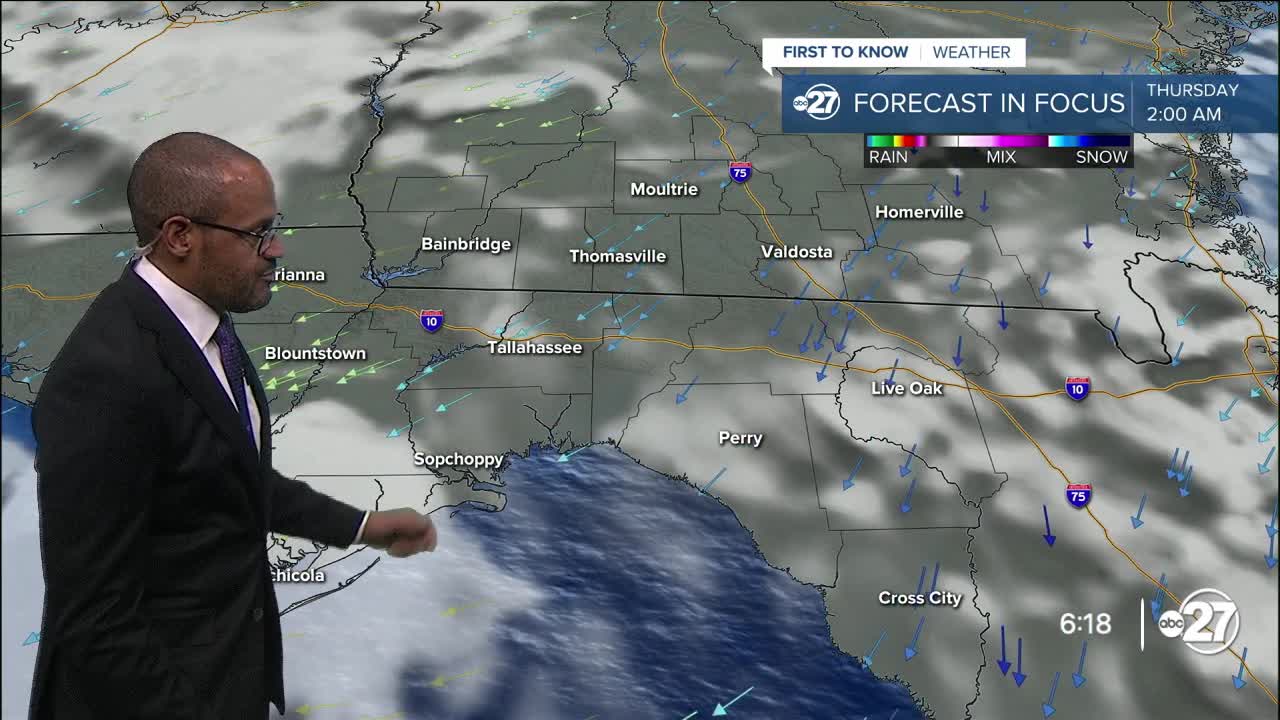
The dryness keeps ample sunshine in place on Thursday, with morning temps a bit lower in the mid 60s while highs return to the average mid to upper 80s. It'll remain dry for Friday, too.
Deeper moisture lurking to the south will shift northward over the weekend, enhancing our chances for periods of showers, rain, and thunderstorms early next week.
--Casanova Nurse, Chief Meteorologist
Want to see more local news? Visit the WTXL ABC 27 Website.
Stay in touch with us anywhere, anytime.
