


TALLAHASSEE, Fla. (WTXL) — Southerly winds off the bay and Gulf waters, combined with widespread tropical moisture, are keeping it feeling rather thick outside, with high levels of mugginess across the region. Several spots of showers, rain, and isolated thunderstorms are moving mainly north and affecting several areas while others nearby go dry. This type of pattern will stretch into the evening, with local downpours and a bout of lightning before diminishing later before midnight.
Evening readings will be mainly in the 80s, dropping into the 70s with rain and time, on the way to morning lows in the middle 70s.
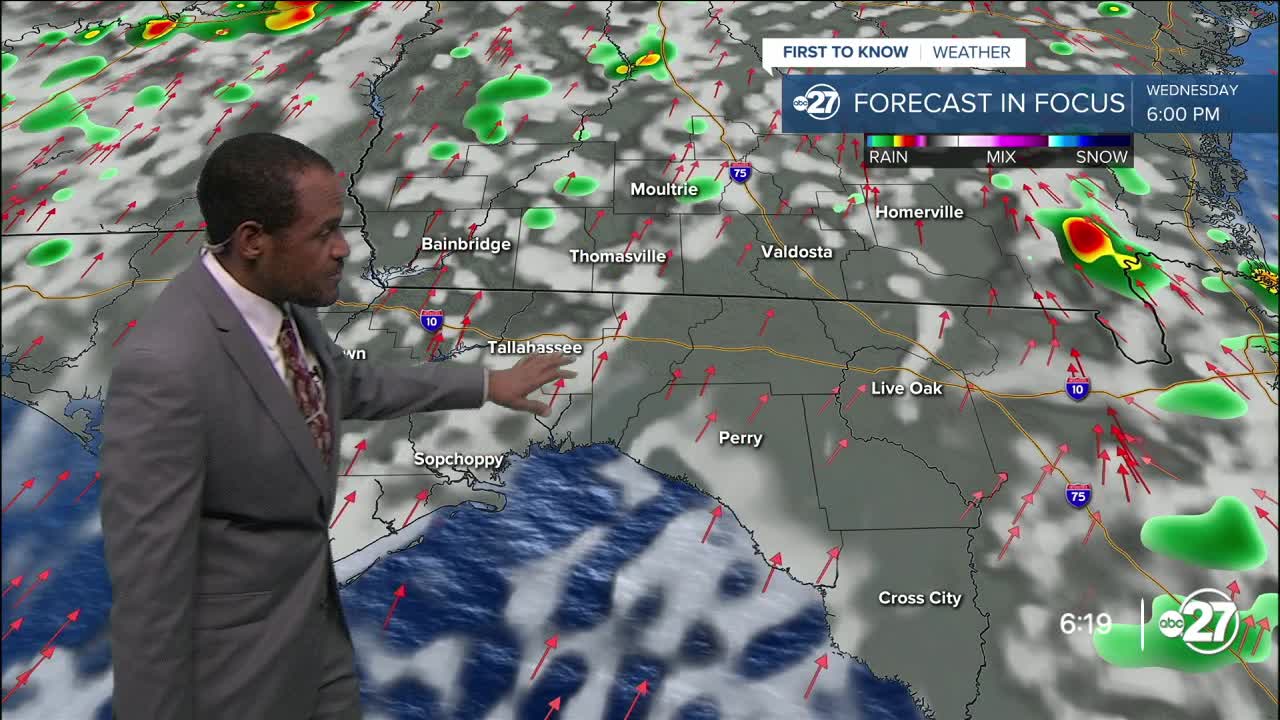
There are no fundamental differences in Wednesday's weather setup with only subtle exceptions, like winds from the south and southwest and the emergence of a weak zone of high pressure that may attempt to keep a limit on the amount of daytime showers and storms. Most areas will encounter rain at some point in time Wednesday, but it won't be particularly long-lasting in most cases. Expected highs are in the low to mid 90s. Feels-like values can climb to around 105°.
Each day through the weekend has a chance for passing showers and thunder, with longer times of sunshine and clouds. Highs will rise to the mid 90s with the increasing effects of that high-pressure area during this stretch.
--Casanova Nurse, Chief Meteorologist
Want to see more local news? Visit the WTXL ABC 27 Website.
Stay in touch with us anywhere, anytime.
