


TALLAHASSEE, Fla. (WTXL) — Local northeast winds — driven by a spin of low pressure off the Georgia coastline in the Atlantic — has altered the development cycle and movement of today's showers and storms by keep them pinned near the Big Bend coastline. Persistent rain will affect coastal highway 90 through the US 19 region of the eastern Big Bend through the early evening. Additional showers and storms will pop in the middle Suwannee River valley through mid-evening. The more inland one is, the drier and clearer it will likely be for the night.
Overall temp trends will have readings in the 80s this evening drop into the 70s by midnight, with morning lows in the low to mid 70s with patchy cloudiness.
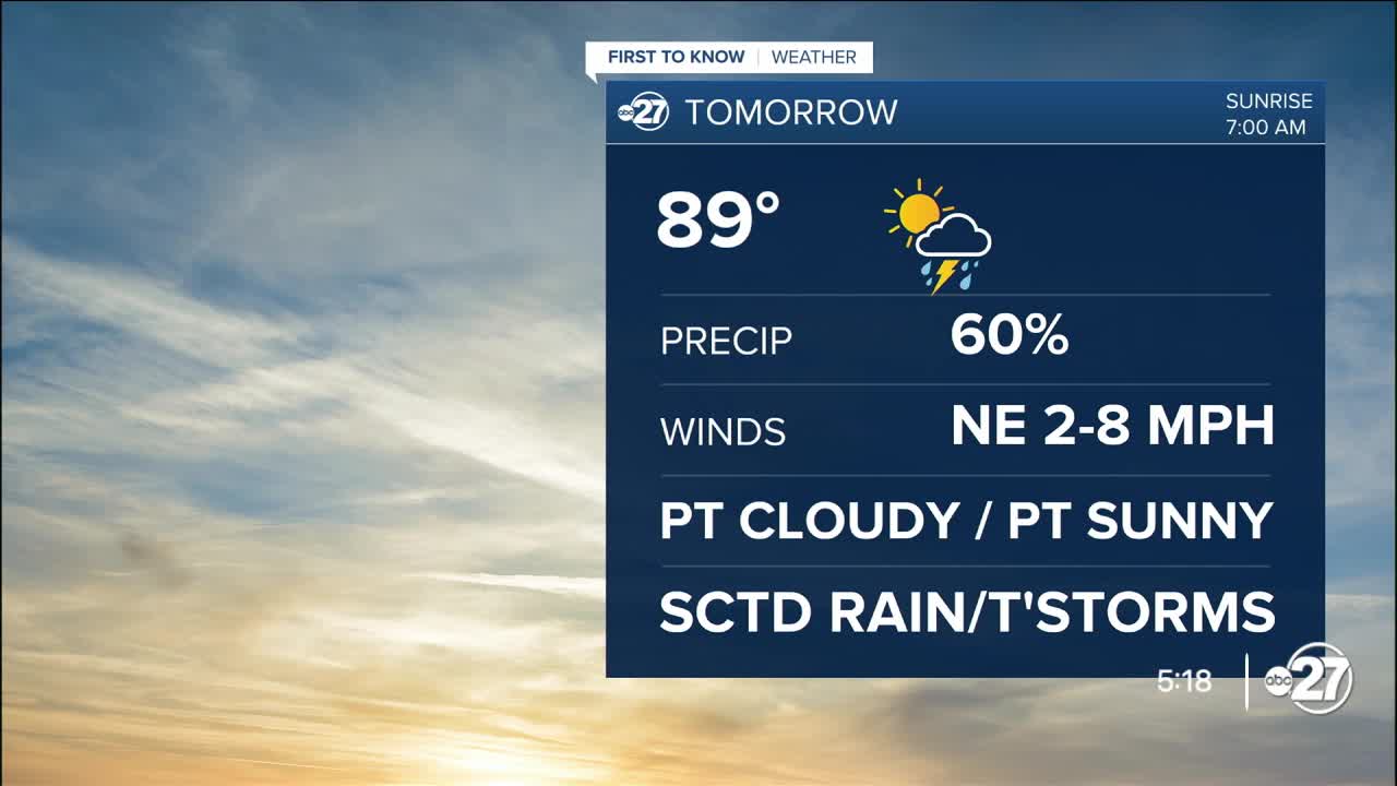
The pattern of northeast winds will continue Friday, so a similar outcome is expected, with the bulk of daytime rain and storm action to be confined to Big Bend counties, decreasing north of US 84 and southern Georgia. With variable cloudiness, highs will range from the upper 80s south to low to mid 90s north.
Like in some cases earlier this week, downpours can be intense and trigger spot and flash flooding, especially in areas already saturated by previous rain events.
There will be daily rain and thunder chances over the weekend with a sun-and-cloud mix and forecast highs near the 90° mark.
--Casanova Nurse, Chief Meteorologist
Want to see more local news? Visit the WTXL ABC 27 Website.
Stay in touch with us anywhere, anytime.
