


TALLAHASSEE, Fla. (WTXL) — A slightly drier air pattern this evening has reduced the shower and storm risk well below Saturday's levels. An isolated pop-up shower before midnight is possible, but not likely.
Patches of clouds will roll across from the upper levels of the atmosphere this evening and tonight as the fair-weather clouds from earlier today dissipate. Temperatures will go from the lower 90s early to the 70s before midnight, on their way to overnight lows in the upper 60s and lower 70s.
Monday afternoon shortly after 2:00 is when the autumnal equinox begins ... essentially the astronomical beginning of fall. Of course, temperature trends won't automatically drop to cooler levels; we'd have to get a strong cold front come through, which isn't foreseen in the next two weeks. So the continuation of the trend of hot afternoons with highs in the low to mid 90s is anticipated for Monday under a partly cloudy sky. A couple of late-day showers can develop.
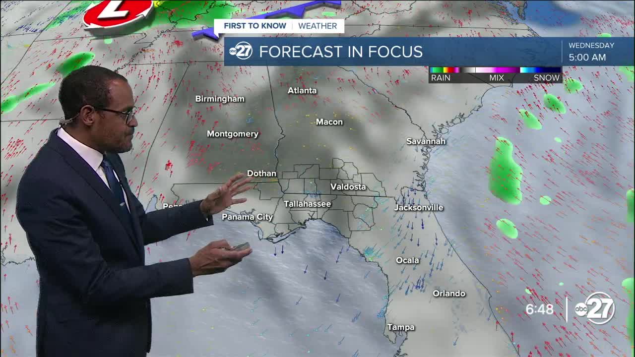
The shower and storm risk through Wednesday will be confined and rather limited, with the sea breeze, daytime heat, and wind flows being the main triggers. By the end of the work week, a cold front from the Midwest will come closer and cast more clouds, showers, and occasional thunderstorms into the region, providing the first more-substantial rain opportunities for many neighborhoods in over two weeks in some cases.
--Casanova Nurse, Chief Meteorologist
Want to see more local news? Visit the WTXL ABC 27 Website.
Stay in touch with us anywhere, anytime.
