



TALLAHASSEE, FL (WTXL) — Thanks to a high pressure to our west pushing in moisture from the east, the bulk of the shower activity will hug the I-85 corridor yet again through Friday afternoon.
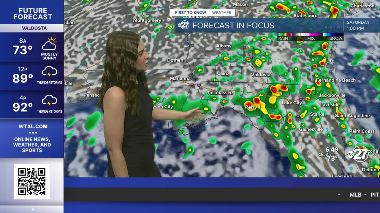
As the daytime heating gets going, showers will start east and move in the westerly direction. They won't hold together across the whole area, however, additional showers have a chance to pop up for western neighborhoods throughout the afternoon due to heating and sea breeze.
The pattern continues into the weekend as the wind flow becomes more southerly, allowing for more moisture to be pushed in. This will allow for more neighborhoods to see heavy downpours throughout the afternoon. Saturday and Sunday will be very similar: partly cloudy through the morning with rain in the come-and-go variety throughout the afternoon.
It will not be a washout, so any outdoor plans should not be canceled, but just have a backup plan.
Scattered showers will continue to start next week before they become more isolated midweek as highs rise to the mid to upper 90s.
Want to see more local news? Visit the WTXL ABC 27 Website.
Stay in touch with us anywhere, anytime.
