

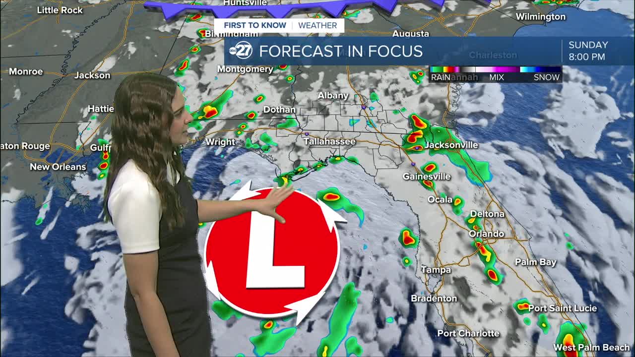


TALLAHASSEE, FL (WTXL) — Showers and storms will come in waves as we move though Sunday night and Monday. They will start at the coast with the heaviest showers and then move inland from the south.
Throughout Monday, Tropical Depression Two will crawl towards the north west eventually making a more westerly turn. This will allow us to keep the outer bands moving through, however, escape the strongest winds. Locally, sustained winds will range from 10-15 mph with gusts up to 20 mph at times especially in stronger individual cells.
These rain bands will be slow moving as well, so localized flash flooding will be the main concern. Major local impacts are not expected.
Overall, expect increased cloud cover, rain coverage and gusty winds at times.
This system will influence our weather through mid week before we return to a slightly more summer like pattern with afternoon showers and storms sticking around and highs in the low 90s.
Want to see more local news? Visit the WTXL ABC 27 Website.
Stay in touch with us anywhere, anytime.
