



TALLAHASSEE, FL (WTXL) — As a front works its way through the area Sunday, it will continue to pop up showers and storms. However, once it passes, the heat will be cranked up!
Expect a few more rounds of showers and storms will move through Sunday and Monday as the front moves out. They will be scattered and shouldn't put a damper on any plans, just make sure to have a back up indoors as it may be needed as the storms pass.
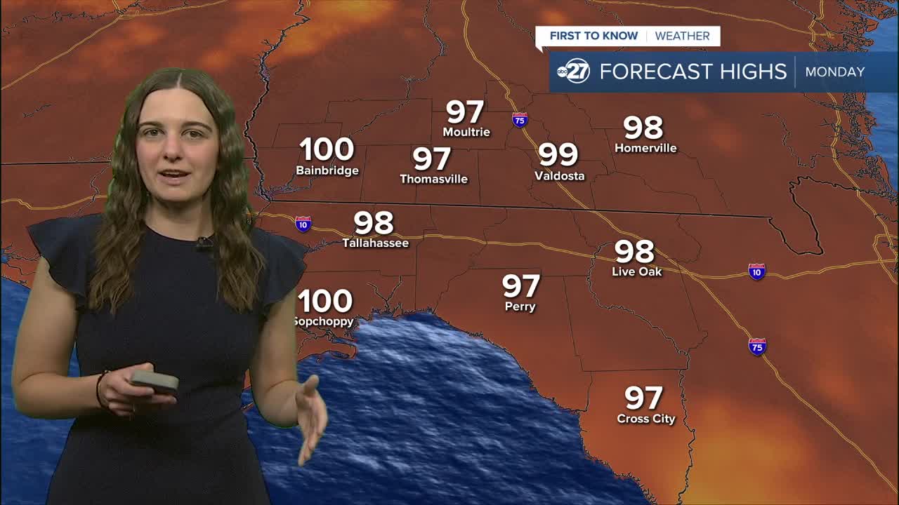
Attention will quickly shift to the heat Monday as daytime highs will be in the upper 90s to triple digits across the area. Heat indices of up to 112° are expected as a Heat Advisory is in effect from 11 a.m. - 8 p.m..
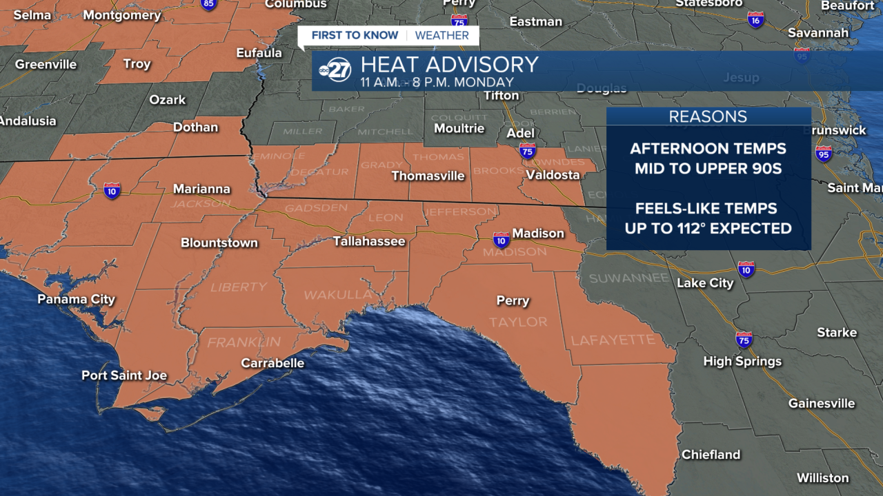
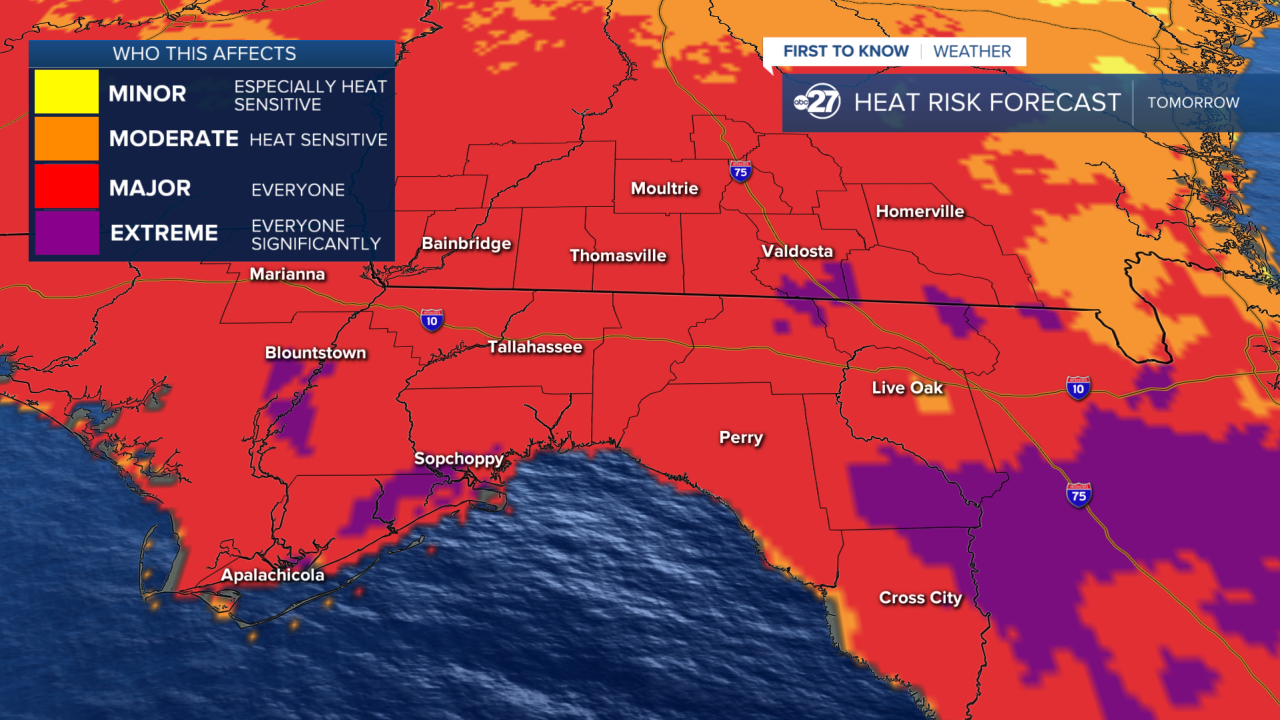
However, Tuesday will be the hottest day with more neighborhoods likely to hit the triple digit mark. An Extreme Heat Watch is in effect Tuesday as heat indices of 115° are possible.


Make sure you are staying indoors as much as possible and drinking plenty of water as this is more than just our normal summer heat!
Want to see more local news? Visit the WTXL ABC 27 Website.
Stay in touch with us anywhere, anytime.
