

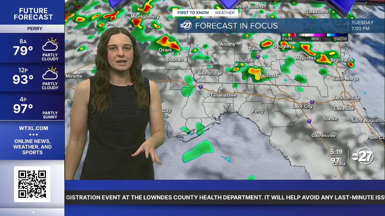


TALLAHASSEE, Fla. (WTXL) — One more day of numerous showers and storms are in store as the low with the attached front still lingers to our north.
Highs Tuesday will hold in the mid to upper 80s for most with isolated neighborhoods who see a little bit more sun possibly reaching to low 90s.
Plenty of moisture is in place due to the front, causing for showers to pass through in the morning hours Tuesday. Once daytime heating starts, it will be another ingredient to allow for more activity throughout the afternoon.
The main concerns continue to be gusty winds, frequent lightning and heavy downpours. Due to the ground already being saturated, heavy downpours can cause isolated flooding concerns, especially for low lying areas.
The low pressure will slowly lift towards the west, allowing our pattern to return to more of a summer like one. Once this happens, scattered activity will return with daytime highs bouncing back to the low to mid 90s.
Want to see more local news? Visit the WTXL ABC 27 Website.
Stay in touch with us anywhere, anytime.
