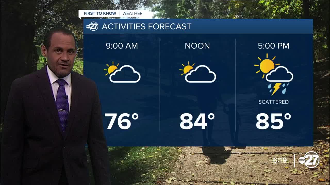


TALLAHASSEE, Fla. (WTXL) — The earlier deck of clouds disrupted the thunderstorm pattern again late today, but evening and nighttime rain and storms are shaping up in the eastern Big Bend. That activity will move to the west-southwest and will bring select neighborhoods a period of heavy rain and loud thunder. The activity will be scattered and start diminishing by midnight.
Other areas in the tri-state and southwestern Georgia will have little to no opportunity for rain.
There will be patches of clouds overnight with lows in the mid to low 70s.
Saturday features sunshine and areas of clouds. Broader cloud cover will inhibit quick-forming showers and storms, but areas with more sun can see the development occur faster, with showers and storms developing in eastern sections first and moving generally to the west in the afternoon. Highs will be in the upper 80s to around 90° with cloudiness in consideration of these below-average temperatures.
--Casanova Nurse, Chief Meteorologist
Want to see more local news? Visit the WTXL ABC 27 Website.
Stay in touch with us anywhere, anytime.
