

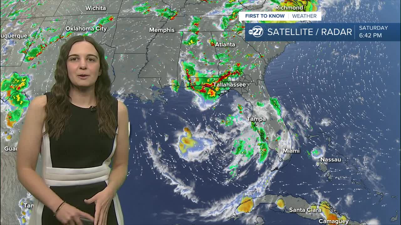


TALLAHASSEE, FL (WTXL) — Expect showers each and every afternoon throughout the next week as highs remain in the low 90s.
It will not be a total washout throughout the next few days, showers will come in rounds with breaks of sunshine in between.
We are closely monitoring Invest 91L in the eastern Gulf that has shown signs of a broad low pressure forming. The National Hurricane Center will start investigating it further due to surface conditions becoming slightly more 'tropical' looking. However, high uncertainty still remains as the system is currently stationed just off the coast of Tampa due to high pressure to its east and west.
Over the course of the next few days, this will be the main influence for our rain chances. As the system drifts towards the west/northwest, showers and storms will be funneled in from the south increasing our rain coverage.
Rapid development of the system is not expected, in fact, it will be quite slow if development occurs. So, local impacts are not expected to be major. Expect higher rain coverage through the weekend and early next week as we continue to monitor it closely.
Highs will generally remain the low 90s with isolated neighborhoods making a run at the mid 90s with sunshine in between showers/storms.
Want to see more local news? Visit the WTXL ABC 27 Website.
Stay in touch with us anywhere, anytime.
