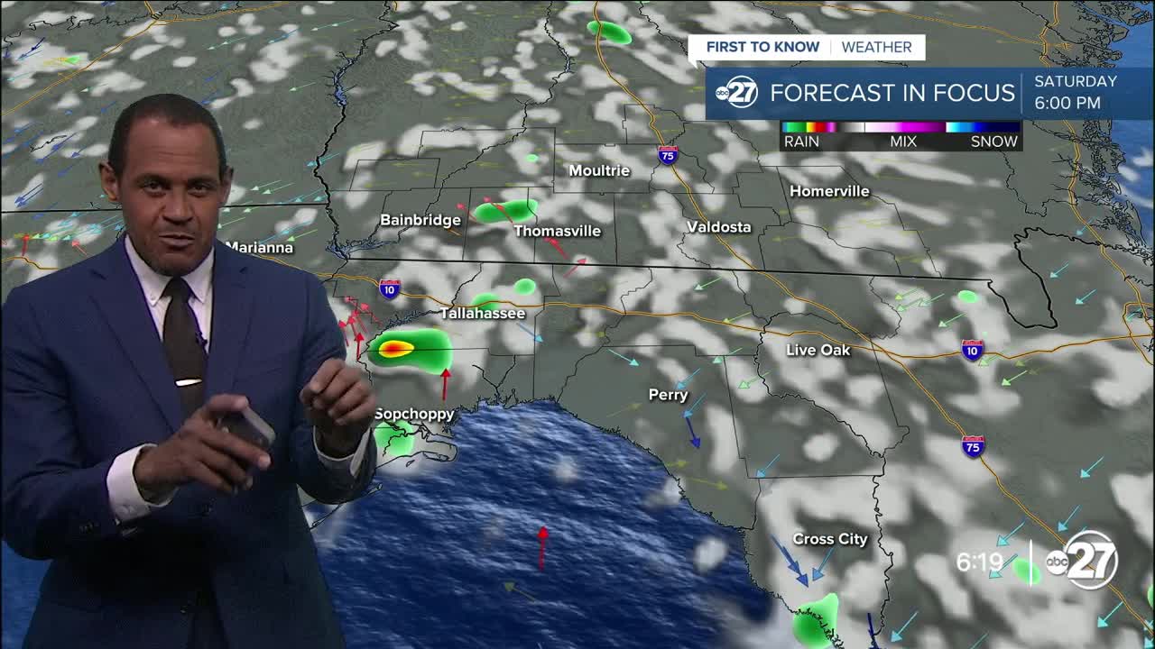


TALLAHASSEE, Fla. (WTXL) — Moisture and warmth, along with a minor weakness in the atmosphere to our north, have combined to provide patchy and spotty showers, downpours, and isolated thunderstorms around and south of the state line. These showers will be small-scale with rain impacts for select neighborhoods as they move south and decrease in number through the night.
A clearing trend will take place region-wide late tonight and temperatures will decline through the 70s later. It won't be as cool as previous mornings this week, but many inland areas first thing after sunrise Saturday will encounter the upper 60s, near average.
The final weekend of summer will feel like the middle of summer at times, considering the morning sun and heating triggering pop-up clouds in the afternoon, and the moisture making it feel muggy and hot. Highs will be in the mid 90s, and feels-like values will be closer to the upper 90s or 100°.
A slight drop in available moisture puts Sunday's shower chances in the lowest rung of the scale, with coverage affecting less than 10% of the local landscape. It will be sunny to partly cloudy with warm highs in the low to mid 90s again.
It won't feel like fall when the season officially begins Monday afternoon. We'll have the same pattern of a sun-and-cloud mix in the afternoon with isolated showers and storms. While it remains dry for most areas, a few occasions of daily rain will be anticipated through most of next week with highs remaining in the 90s and lows around 70°.
--Casanova Nurse, Chief Meteorologist
Want to see more local news? Visit the WTXL ABC 27 Website.
Stay in touch with us anywhere, anytime.
