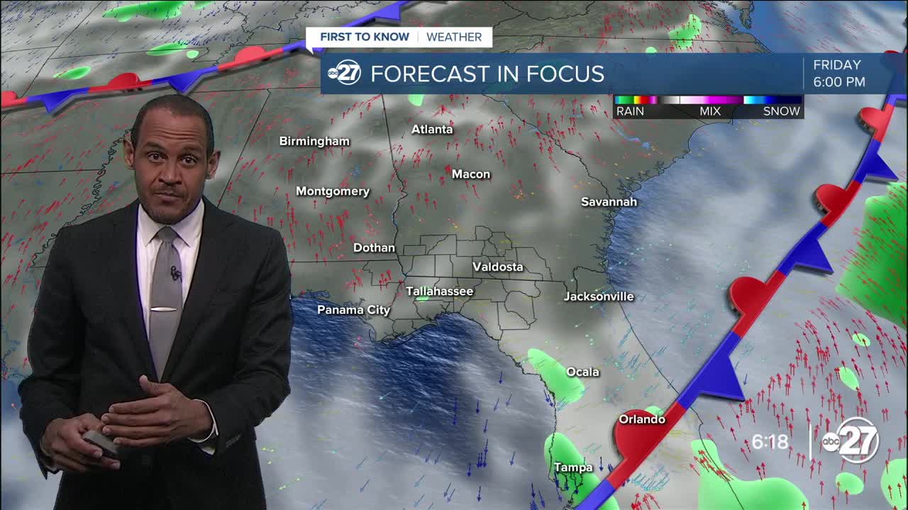
TALLAHASSEE, Fla. (WTXL) — The dry flow continues to influence a clearer sky in most areas this evening, with patchy cloud cover in the eastern Big Bend into the early evening hours. A spot shower is possible there before sunset, but not likely to form or be problematic even if it did form.
Areas of clear sky and lower humidity for early September are the general expectations for the night ahead around the Florida/Georgia line region. This setup, along with light winds, will allow many areas to cool through the 70s late night and overnight. While morning lows may not be as low as the night before, we will still wake up to mid and upper 60s in inland locations Wednesday morning, with upper 60s to low 70s at the coast and the Suwannee valley.
The wind pattern will bring some moisture into eastern sections Wednesday, contributing to scattered daytime clouds. Another small chance for a stray shower exists in the afternoon, though most of us will unaffected by significant rain action. The sun-and-cloud mix will get highs in the lower 90s.
We'll be in a gap between deeper moisture to the south and weak cold fronts that skim the inland areas of the Deep South. Meanwhile, the inflow of moisture will be at a relative trickle; we'll start feeling more humid, but available moisture will be somewhat limited and daily shower and storm chances will remain low through Saturday. Temperatures for highs will be able to get into the middle 90s, and some feels-like values can exceed 100° in that stretch.
A little more rain and storm activity will scatter around early next week.
--Casanova Nurse, Chief Meteorologist
Want to see more local news? Visit the WTXL ABC 27 Website.
Stay in touch with us anywhere, anytime.


