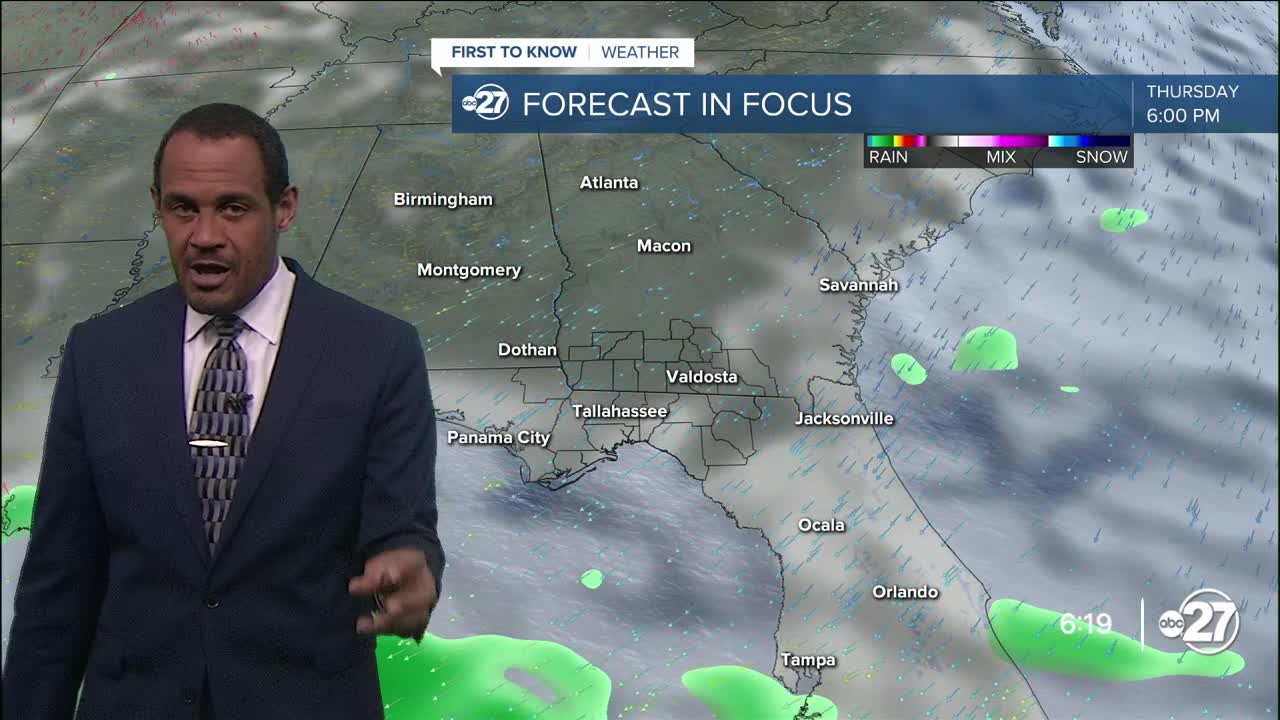


TALLAHASSEE, Fla. (WTXL) — The circulation around Tropical Storm Imelda — a system that will stay off the Florida east coast and not come this way — is directing the northeast wind and breeze that we're having. It's also helping to transport patches of cloudiness across the eastern extent of the state line region. Among some of those clouds have been a few passing showers, especially east of US 319. Those areas will remain susceptible to brief showers through the evening, with lesser chances in the tri-state area.
Cloud cover will be variable, with clearer sky west and partly clear conditions east through the night.
Forecast readings will go from the 80s early evening to the 70s after sundown. Expected lows will be in the upper 60s to around 70°.
The breeze will range between five and 15 mph Tuesday amid scattered clouds and times of sunshine. Another few streaming showers are possible east of US 319 and more probable around and east of I-75 in the Suwannee River valley. It'll be near average with the warmth, with projected highs topping out in the middle 80s. It can be slightly warmer west, with more sunshine anticipated.
As Imelda moves east by midweek, the breezes will decrease. A modest cold front will slip to the south from the Savannah River area. This will provide slightly drier air, causing less mugginess and more areas of sunshine on Wednesday and Thursday. Highs will be in the mid 80s with lows in the mid 60s.
The front stalls to the south of us, then becomes a corridor for clouds, showers, and storms that will influence higher rain chances locally over the weekend and early next week.
—Casanova Nurse, Chief Meteorologist
Want to see more local news? Visit the WTXL ABC 27 Website.
Stay in touch with us anywhere, anytime.
