


TALLAHASSEE, Fla. (WTXL) — The combination of high pressure from the mid-Atlantic region to the Great Lakes, and the flow around Hurricane Imelda in the western Atlantic Ocean, is generating a steadier breeze around the region that will persist through the next 36 hours or so. The wind flow will allow a batch of dry air to reduce the humidity levels around the area, and promote times of clearer sky and broader daytime sunshine.
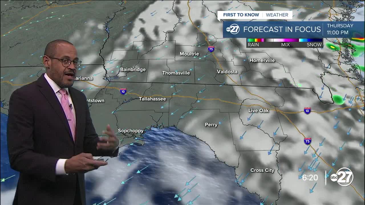
This evening, though, a brief shower is possible south of Interstate 10, affecting a very limited amount of landscape. Otherwise, it will be partly cloudy to mostly clear with temps falling through the 70s and ending up with lows in the mid 60s in the morning.
Readings will rebound to the middle 80s by Thursday afternoon. Winds speeds will range from about five to 15 mph with some higher gusts, especially in offshore waters. Again, an isolated shower is possible but not expected to be highly impactful.
We'll remain drier (lower humidity) through Friday. But, deep moisture lurking to the south will be drawn to the north over the weekend. Wetter conditions begin Saturday with patchy showers, leading to the likelihood for scattered to numerous showers and thunderstorms Sunday and Monday. Forecast temps will be steady in the 80s for highs, while lows creep higher toward 70° early next week.
--Casanova Nurse, Chief Meteorologist
Want to see more local news? Visit the WTXL ABC 27 Website.
Stay in touch with us anywhere, anytime.
