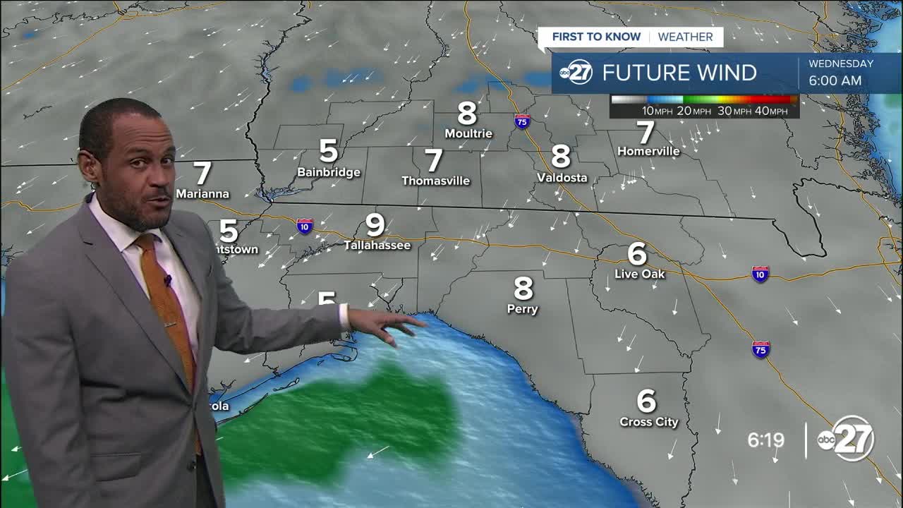


TALLAHASSEE, Fla. (WTXL) — A steady northeast wind setup is enhancing the drier spell across most southern Georgia counties and western Big Bend neighborhoods late today. Isolated showers have rolled westward from the Suwannee River into Apalachee Bay. Layers of clouds present in the Big Bend will gradually break through late tonight, while inland areas will have a clearer sky for longer.
Evening temperatures will fall out of the 80s and level off in the lower 70s for most of Wednesday morning, as lows will range from the upper 60s southern Georgia to near and around 70° elsewhere.
The northwest flow brings in additional dry air, and the stalled front over north-central Florida will meander and sag a little farther south, reducing the possibilities for developing showers in the eastern Big Bend for the afternoon and allowing broader sunshine across the state line area. High temperatures will get to around 90°.
For the remainder of the week, there will be abundant daytime sunshine, a few afternoon clouds, and maybe one or two showers if the sea breeze and overall northeast wind flow kick up just right. But, the main expectation is for a rain-free stretch of days that carries over into the weekend.
Temp trends will be consistent, with highs around 90° to the lower 90s, and morning lows a little below average in the mid to upper 60s.
--Casanova Nurse, Chief Meteorologist
Want to see more local news? Visit the WTXL ABC 27 Website.
Stay in touch with us anywhere, anytime.
