

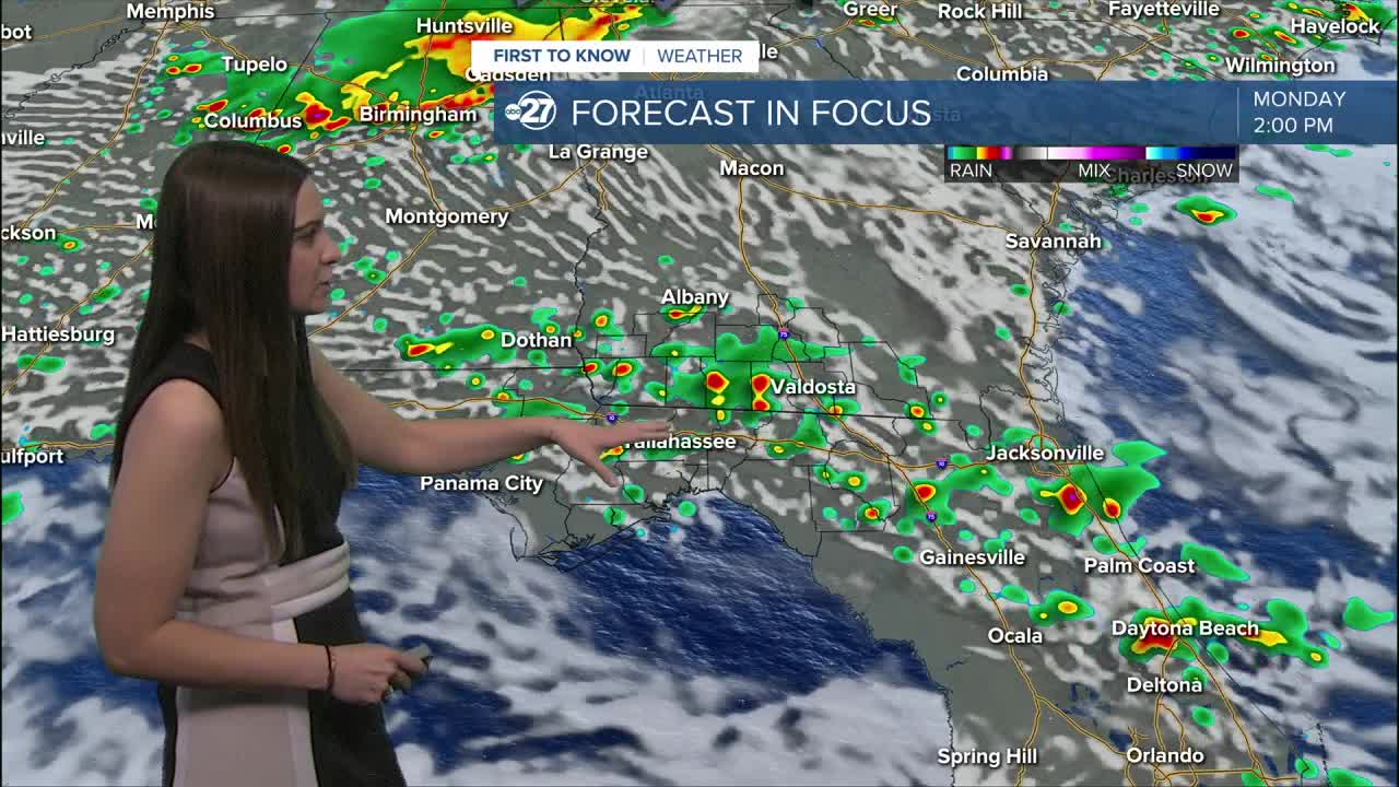


TALLAHASSEE, Fla. (WTXL) — A lingering front and plenty of moisture will continue to help shower and storm activity blossom through the next few days.
Temperatures will stay warm through Sunday night in the low 70s. Muggy conditions will stay in place as well.
Shower activity could start as early as noon Monday and linger through sunset. A few storms could be on the stronger side with heavy downpours, gusty winds, and frequent lightning.
This moist air mass will remain in place through Tuesday before a backdoor front sweeps through with dry air behind it. This means a break from the rain!
The backdoor front will also contribute to a brief cool down as highs will drop to the low to mid 80s by Wednesday.
Through the rest of the week, we will keep the drier conditions as the sun returns. Temperatures will bounce back to the 90s by the weekend.
Want to see more local news? Visit the WTXL ABC 27 Website.
Stay in touch with us anywhere, anytime.
