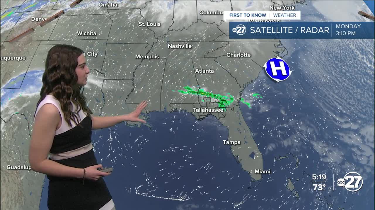


TALLAHASSEE, Fla. (WTXL) — As we continue to see the warming trend kick in, temperatures both overnight and during the day, are on the rise.
Overnight Monday, lows will only get down to the mid 40s, so staying on the chilly side, but not as cold as we've been used to. Humidity will build overnight as we are seeing winds come in from the south, pushing moisture in from the Gulf. This will lead to patchy fog across the area early Tuesday morning and lasting until 9 - 10 a.m..
The warmth isn't going anywhere! Temperatures will stay in the 70s for the rest of the week with clouds and showers sprinkled in.
The next shower chance comes Wednesday as a front approaches. Showers are expected to stay on the light side.
Fast forward to the weekend, heavier showers are expected to move in as a frontal system moves through. Some storms are definitely possible.
Once we get behind the weekend frontal system, temperatures will drop slightly back to the 60s for daytime highs.
Want to see more local news? Visit the WTXL ABC 27 Website.
Stay in touch with us anywhere, anytime.
