


TALLAHASSEE, Fla. (WTXL) — Temperatures will stay warm through the night and start of the weekend, before a cold front brings some relief.
Overnight, temperatures will get down into the upper 50s to low 60s with patches of fog very possible into Saturday morning.
Sunshine will fill the skies Saturday as temperatures climb yet again into the upper 80s and low 90s. Clouds will start to build later in the evening as a cold front approaches Sunday.
This cold front will bring mainly cloud cover, but a few brief showers cannot be ruled out. The clouds will keep temperatures in the 70s for most and low 80s will hold through Monday before we warm right back up next week.
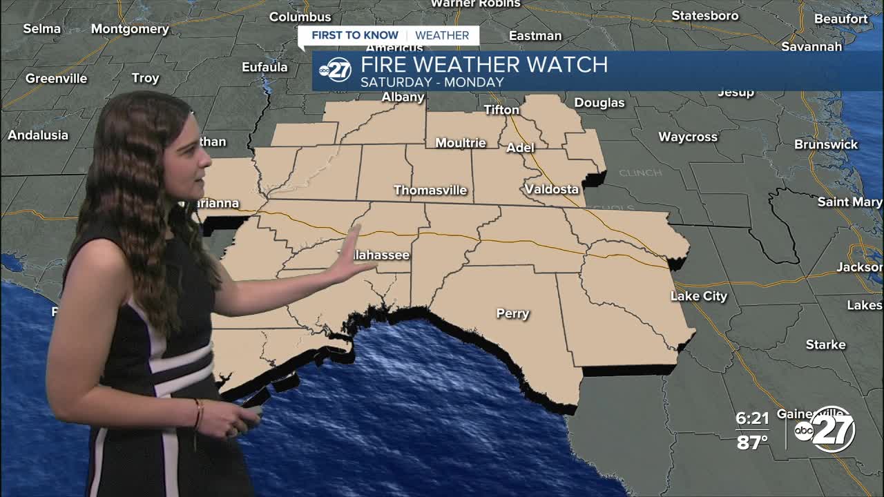
Increased fire danger is expected throughout the weekend and beginning parts of next week as we will combine warm temperatures and gusty winds. Burn bans are in place. For a full list of active burn bans, click here.
Due to this, a Fire Weather Watch is in effect for all counties from Saturday through Monday evening.

Want to see more local news? Visit the WTXL ABC 27 Website.
Stay in touch with us anywhere, anytime.
