

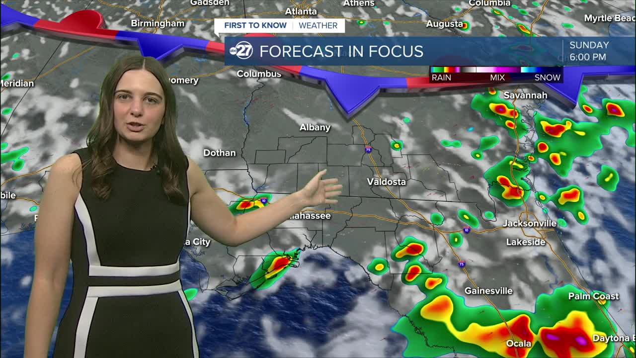


TALLAHASSEE, FL (WTXL) — The high pressure that has been keeping us dry is slowly drifting off to the west as a front moves in from the north.
As the front moves south, it is providing an increase in rain coverage starting in south Georgia and moving in the southerly direction.
This will not stop the heat! Mid 90s are in the forecast for Sunday and then once the front passes and we get another break from the rain, highs will climb to the upper 90s to start the work week.
Expect scattered showers and storms through the rest of the weekend with breaks of sunshine in between.
The rain will quickly return around Thursday which will slowly bring down temperatures to the low to mid 90s.
Overnight lows will remain in the mid to upper 70s through the week.
Want to see more local news? Visit the WTXL ABC 27 Website.
Stay in touch with us anywhere, anytime.
