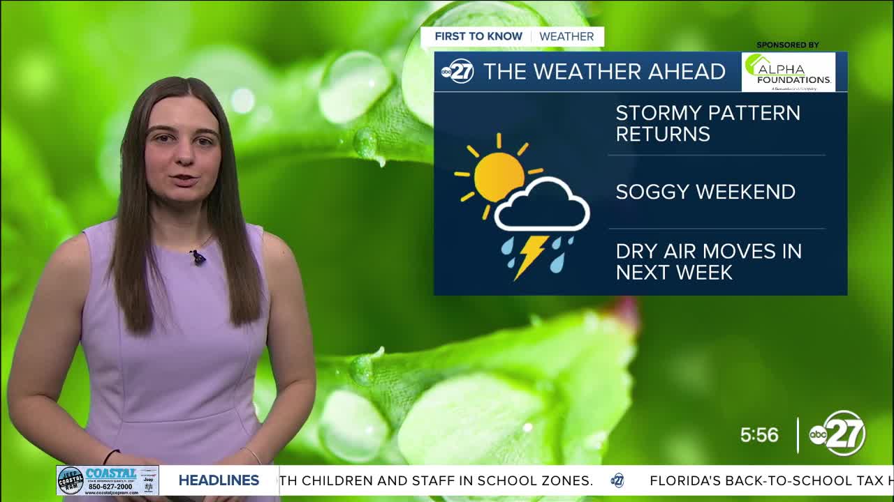


TALLAHASSEE, Fla. (WTXL) — Break those umbrellas back out! Scattered shower activity will be returning today and sticking around through the weekend.
A trough will start to make its way into our area, bringing lots of moisture with it, fueling afternoon storms. However, highs will still climb to the low to mid 90s.
More showers and storms are expected Friday and through the weekend as the trough moves in and stalls. Winds will change to come in from the west and southwest, moving more moisture in from the Gulf.
Isolated flooding and gusty winds are possible as these storms move through.
Highs will start to drop over the weekend to the upper 80s due to the rain coverage.
So, if you have any outdoor plans this weekend, make sure to have a back up!
As we enter next week, more dry air moves in and drops overnight lows to the low 70s and possible the upper 60s for some in south Georgia!
Want to see more local news? Visit the WTXL ABC 27 Website.
Stay in touch with us anywhere, anytime.
