


TALLAHASSEE, Fla. (WTXL) — We have switched paths in temperatures, going from below average to start the week to above average towards the end.
Overnight lows will only get down to the upper 40s to low 50s Thursday night and temperatures will stay warm Friday; highs will be back in the 70s.
Partly cloudy skies will also continue through the end of the week before we are met with shower activity over the weekend.
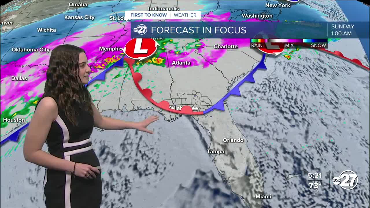
A warm front will protect us from any winter weather, but a cold front later in the weekend will have a good amount of shower activity ahead of it Sunday night and early Monday morning. A few isolated storms have the possibility to become severe, but those chances remain on the lower side as of now.
Daytime plans Sunday should be a go as a majority of the rain will sweep through overnight.
Once we get on the backside of the cold front though, temperatures will take a big hit. We will see the 20s in the mornings yet again with 40s and 50s during the day. This will stay in place for the beginning parts of next week.
Want to see more local news? Visit the WTXL ABC 27 Website.
Stay in touch with us anywhere, anytime.
