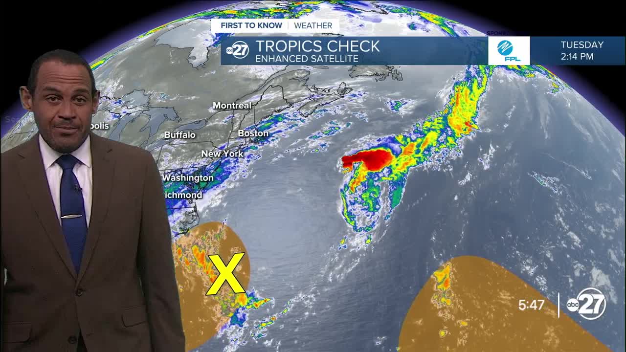


TALLAHASSEE, Fla. (WTXL) — Two disturbances are highlighted for monitoring and future development within the next week, with neither having a short-term risk to the Big Bend region:
- A stalled front extending over the Gulf Stream of the western Atlantic Ocean is pegged for the possibility of a low-pressure system forming and moving mainly to the north through the end of this week, generally toward the coast South and North Carolina before turning more to the northeast.
- A wave of moisture emerging from the western coast of Africa is expected to take a long-range path to the west-northwest over the open Atlantic waters. The expectations for its development and movement beyond the next seven days are highly imprecise and inexact. However, time and forecast data over the next seven to 10 days will provide more insight into its possible strengthening and movement trends.
Want to see more local news? Visit the WTXL ABC 27 Website.
Stay in touch with us anywhere, anytime.
