


TALLAHASSEE, Fla. (WTXL) — Sept. 10 is historically and climatologically the most active day of the Atlantic tropical cyclone season. Since 1944 and through 2020, this day has experienced the highest frequency and quantity of named systems in the waters of the Gulf, Caribbean, and open Atlantic.
However, this year, there isn't any named storm to track.
The local threat level from tropical activity remains very low for the next five to seven days.
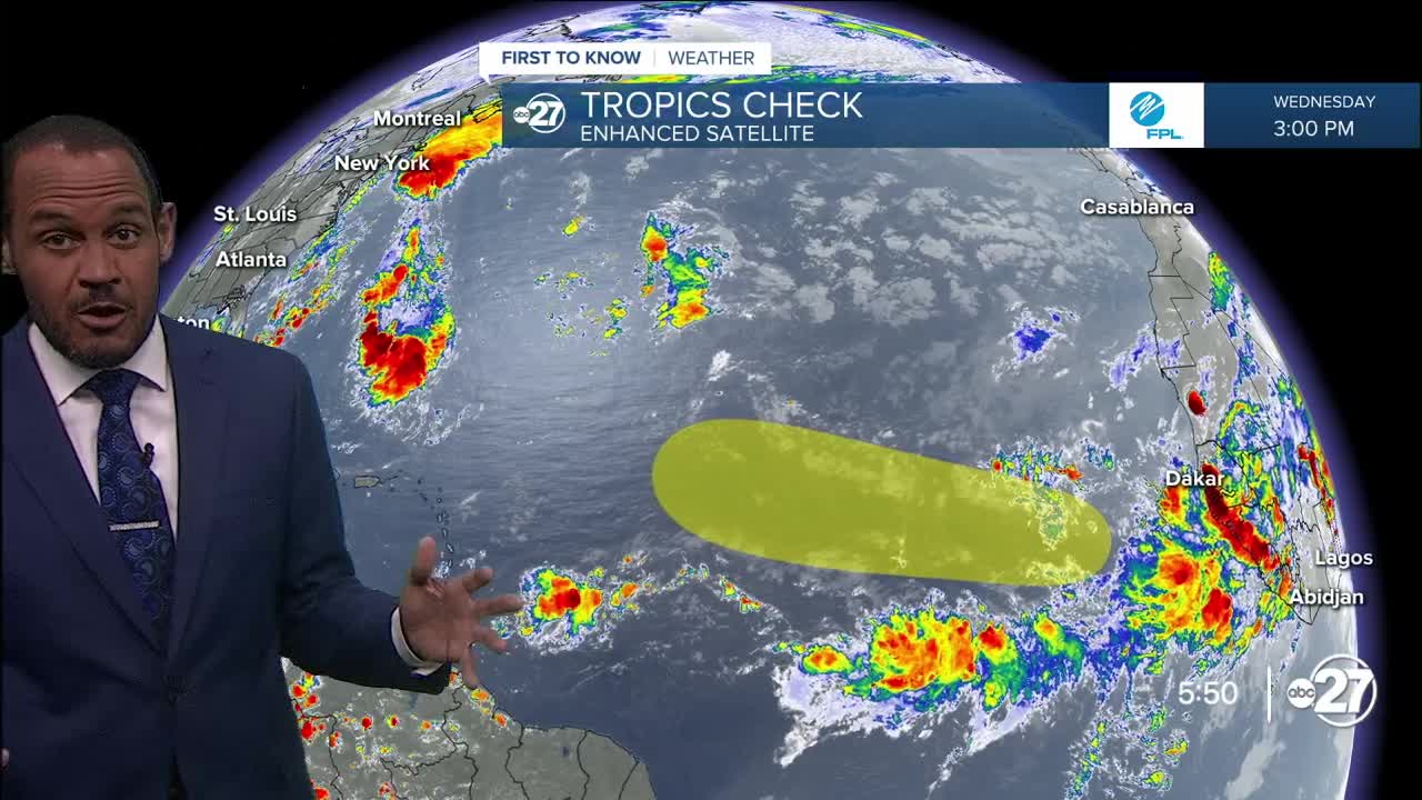
One zone of disturbed weather is set to emerge into the Cape Verde region from western Africa. Like all systems that originate in these distant waters, there is no reliable long-range projection on its strength level or eventual path, but indicators suggest a westerly course before turning more to the northwest while over the open Atlantic Ocean.
Gabrielle is the next name to be used.
A stalled frontal zone over the southeastern Gulf through this weekend will be monitored for rain patterns and activity, but no surefire signs of tropical low-pressure systems are being shown in reliable forecast data.
Want to see more local news? Visit the WTXL ABC 27 Website.
Stay in touch with us anywhere, anytime.
