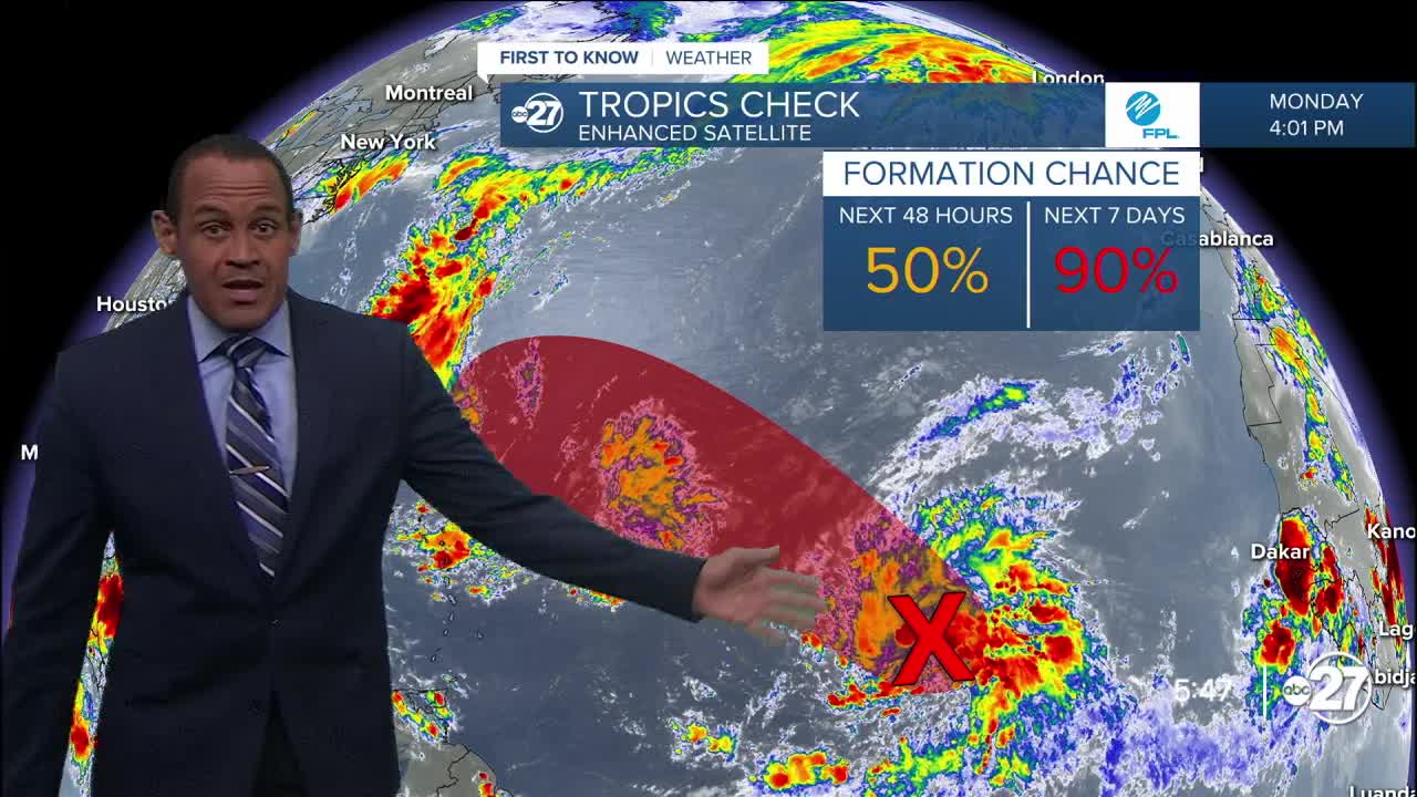


TALLAHASSEE, Fla. (WTXL) — While the mid part of September has been atypically quiet this year storm-wise, one wave of moisture still in the open tropical Atlantic waters has been moving west and has a greater chance to develop further this week.
The disturbance, called 92L for the time being, is forecast to move west, then west-northwest, through this week. It will encounter some slots of drier air which may slow down development efforts, but most reliable forecast data suggest the system will gain enough organization and strength to become a depression later this week.
The same data also signals the system staying over the Atlantic Ocean waters, with a long-range turn to the north indicated, keeping it away from the Gulf and the US east coast, if this projection verifies.
Gabrielle is the next name to be used.
In the near-term, there are no tropical threats foreseen for the Caribbean or the Gulf regions this week.
Want to see more local news? Visit the WTXL ABC 27 Website.
Stay in touch with us anywhere, anytime.
