



TALLAHASSEE, FL — Update
May 6th:
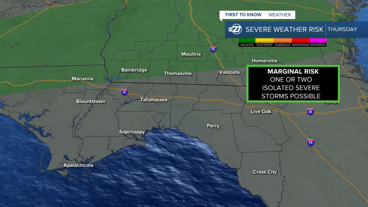
The Marginal Risk (level 1 out of 5) for severe weather has been extended to all of our counties for tomorrow afternoon.
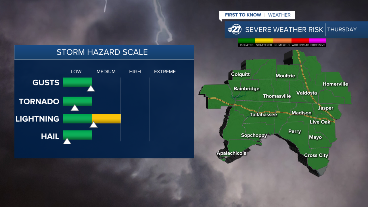
The Main Threats are still damaging wind gusts, frequent lightning, and small hail. While the chances for Tornadoes are still very low, they have increased slightly. This will not be our main concern as damaging winds will be the highest risk besides lightning. Rainfall totals will be around half an inch on average.
Timing: The storms are expected to be pushing through from 3 P.M. - 7 P.M. with the storms weakening as they pass through.
Where: As of now South Georgia will be the main area where these storms will be focused. This depends on how south the front can push.
This is still a changing forecast so stick with us for updates.
Original
May 5th:
There is a Marginal Risk (level 1 out of 5) for severe weather on Thursday. This means isolated severe storms are possible.
As of now, the risk is very low for our area to actually receive any severe weather, but it is not zero. It will all depend on how the cold front will move, and if it will stall to our north, or sweep further south during the afternoon. This is a constantly changing forecast, so stick with us for constant updates.
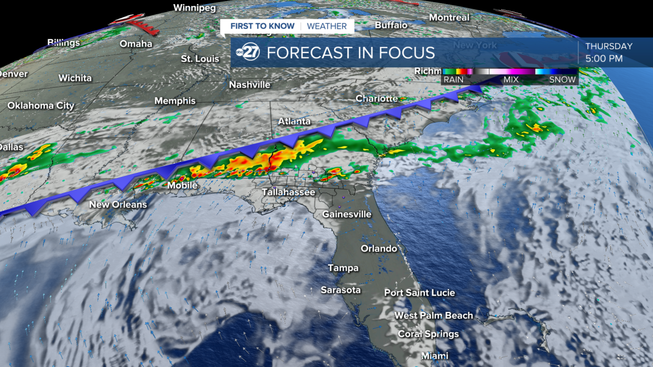
If we were to get severe storms from this, the Main Threats would be damaging wind gusts, frequent lightning, and small hail. There is not a high risk for tornadoes at this time.
The timing as of now is the late afternoon into the evening from around 2,:00-7:00 p.m., but that will likely change over the next few days.
Want to see more local news? Visit the WTXL ABC 27 Website.
Stay in touch with us anywhere, anytime.
