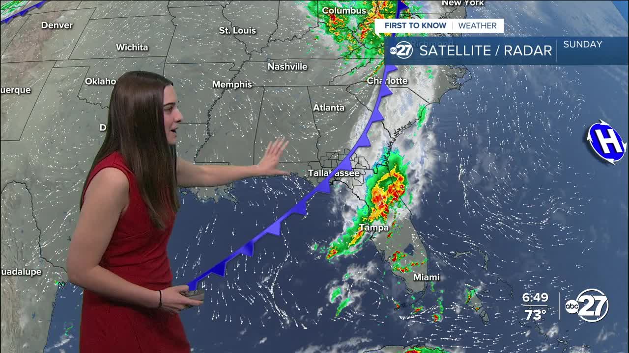


TALLAHASSEE, Fla. (WTXL) — After a rainy and stormy Sunday, we are going to be back to dry conditions Monday. All of the shower activity will finish moving through the area tonight as well as the cold front behind it.
Overnight lows will dip back into the low 50s Sunday night and will be off to a chilly start Monday morning.
Some areas in south Georgia will stick in the 70s throughout the day Monday and low 80s across the Big Bend.
A second cold front is set to move through midweek and this one will drop overnight lows to the upper 40s for some and dewpoint temperatures in the 30s! It is safe to say fall is on its way!
Rain chances remain low through the week with a slight increase next week.
Want to see more local news? Visit the WTXL ABC 27 Website.
Stay in touch with us anywhere, anytime.
