

TALLAHASSEE, Fla. (WTXL) — Scattered storms firing up this afternoon have reached severe limits at times, with high wind gusts in excess of 40 mph reported. Heavy rain has fallen with these storms, with nearly 6 inches of rain reported on the northeast side of Tallahassee in just a few hours. Highs today were able to reach the low 90s before storms rolled through this afternoon, with temperatures this evening ranging from the upper 70s to mid 80s across the region. Storms will begin to dissipate by sunset this evening, with drier air in the forecast for the day tomorrow. Overnight lows will dip into the mid-70s overnight, with passing clouds and an isolated storm possible across the region.
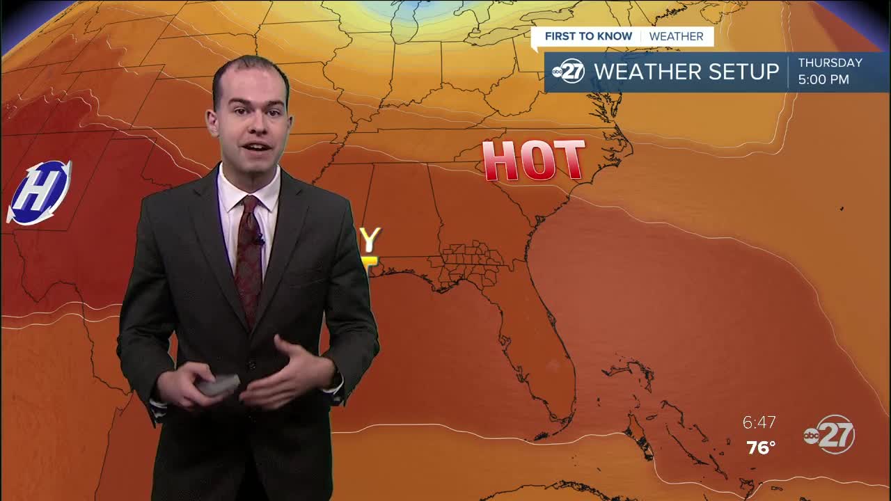
Tomorrow will start on the sunny side, helping our temperatures reach the mid 90s by tomorrow afternoon. Feel like temperatures will surpass triple digits tomorrow, signaling the start of a pattern change and an incoming heat wave by the middle of the workweek. Scattered storms will still make their way into the forecast tomorrow afternoon, mainly in the form of sea-breeze induced storms in the Big Bend. Highs will reach the mid-to-upper 90s each day this week, with feel-like temperatures well into the 100s. This should serve as a reminder to find ways to stay cool, including limiting outdoor exposure, drinking plenty of water, and wearing lightweight and light-colored clothing.
