


TALLAHASSEE, Fla. (WTXL) — A stalled out front along the Big Bend coast is providing plenty of moisture and shower activity that will remain through Saturday evening.
Overnight, we will see a break from the rainfall, but the cloud cover will remain in place.
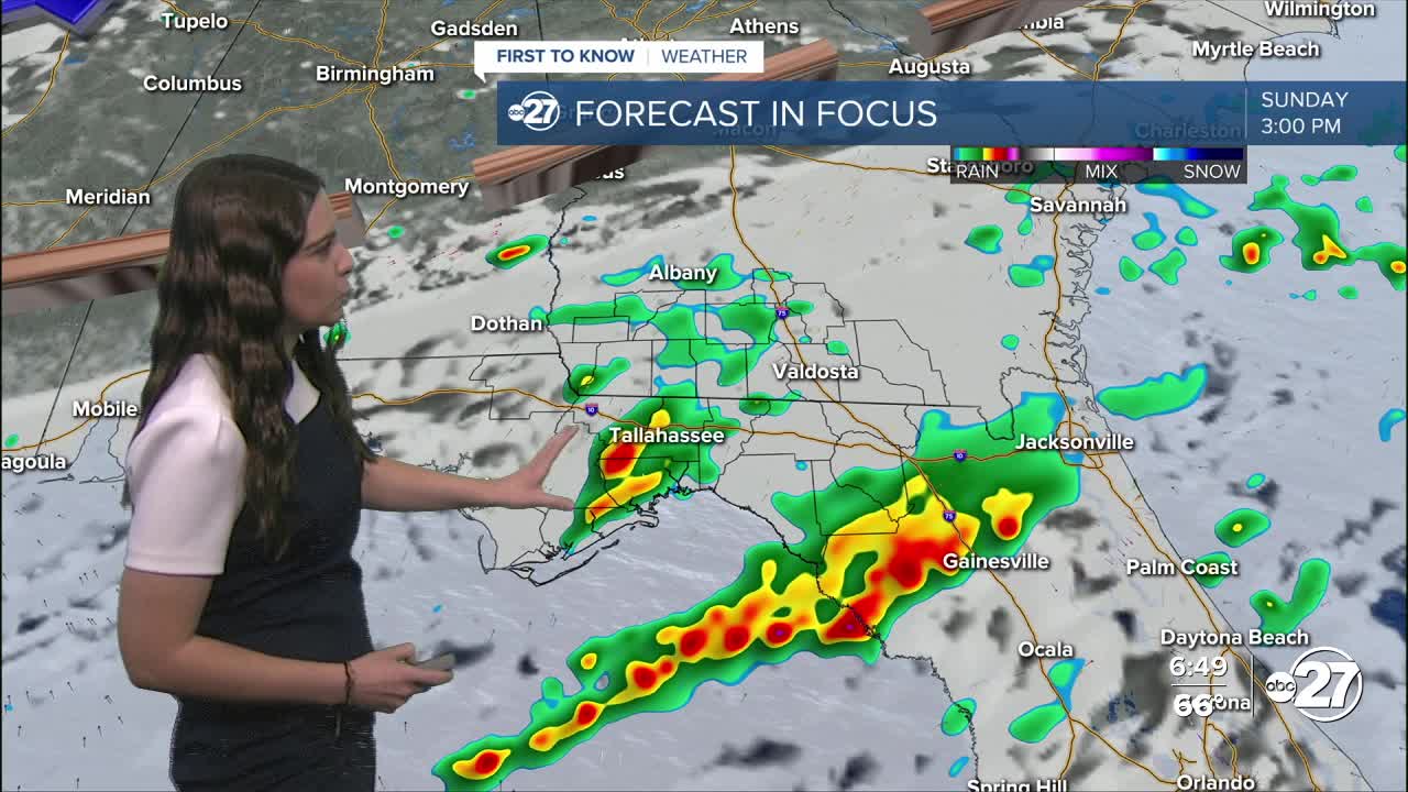
Mother's Day morning will feature more shower activity with a few isolated storms not out of the question.
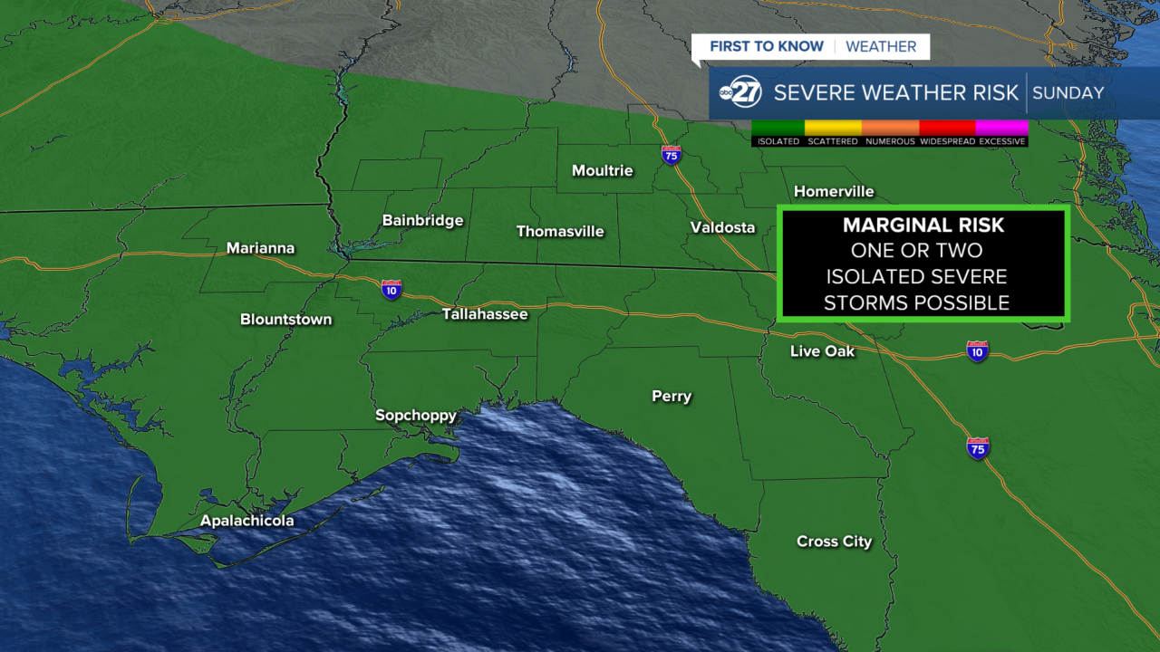
Showers and storms will be in the come-and-go variety throughout Sunday with isolated storms having the possibility of becoming severe. All counties have been placed in a Marginal (level 1/5) risk for severe weather with the main threats being gusty winds, lightning, and hail. The tornado risk remains very low at this time.
We will be in for another round of shower and storm activity Monday as a cold front moves through the area. A Marginal risk for severe weather is also in place for Monday.
Thankfully, there is dry air behind the front allowing for the sunshine to return and stay starting Tuesday.
Want to see more local news? Visit the WTXL ABC 27 Website.
Stay in touch with us anywhere, anytime.
