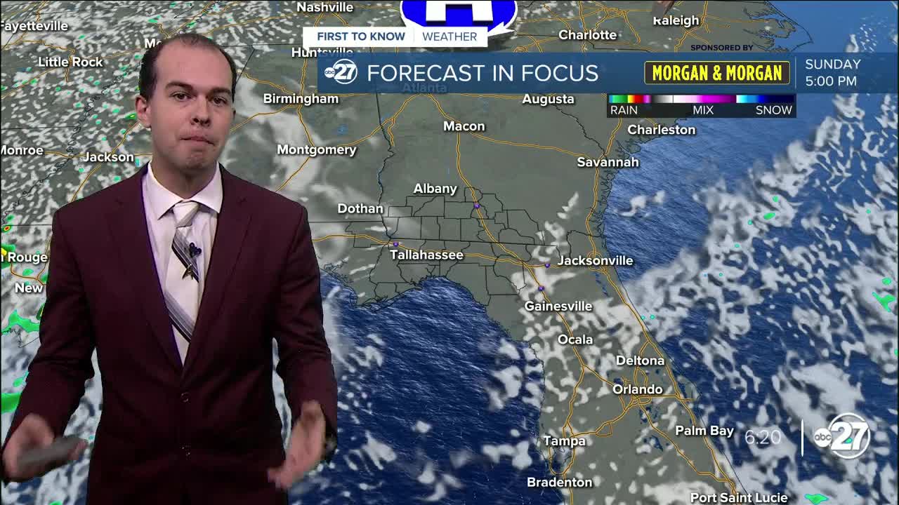


TALLAHASSEE, Fla. (WTXL) — Scattered rain is persisting this evening across the region with some areas of locally heavy rain, with a Flood Watch in effect through 11pm this evening. This is for the threat of heavy rain that could total to 2-4 inches in some places. Remember to turn around, don't drown if you encounter flooded roadways. Temperatures have remained in the upper 70s to mid 80s across the region today due to increased cloud cover and rain coverage. Heading into the overnight hours, storms will dissipate for much of the region, with storms becoming more coastal in nature in the overnight hours. Lows tonight will dip into the low 70s.
Tomorrow will bring mostly cloudy skies for much of the day with periods of sunshine, highs reaching the upper 80s for much of the region. Storm coverage will not be as widespread as it was today, but some areas will pick up on isolated storm coverage, specifically tomorrow afternoon. Tomorrow will be the last day of storm chances, before drying out for the day on Sunday bringing abundant sunshine to the region for Labor Day on Monday. Dry conditions with lots of sun will continue through next week, but the humidity is something that will be noticeably absent. This will keep highs in the low to mid 90s, with feel-like temperatures around the same mark throughout the week. This will be welcome weather, although still slightly hot, for Hurricane Idalia recovery efforts.
