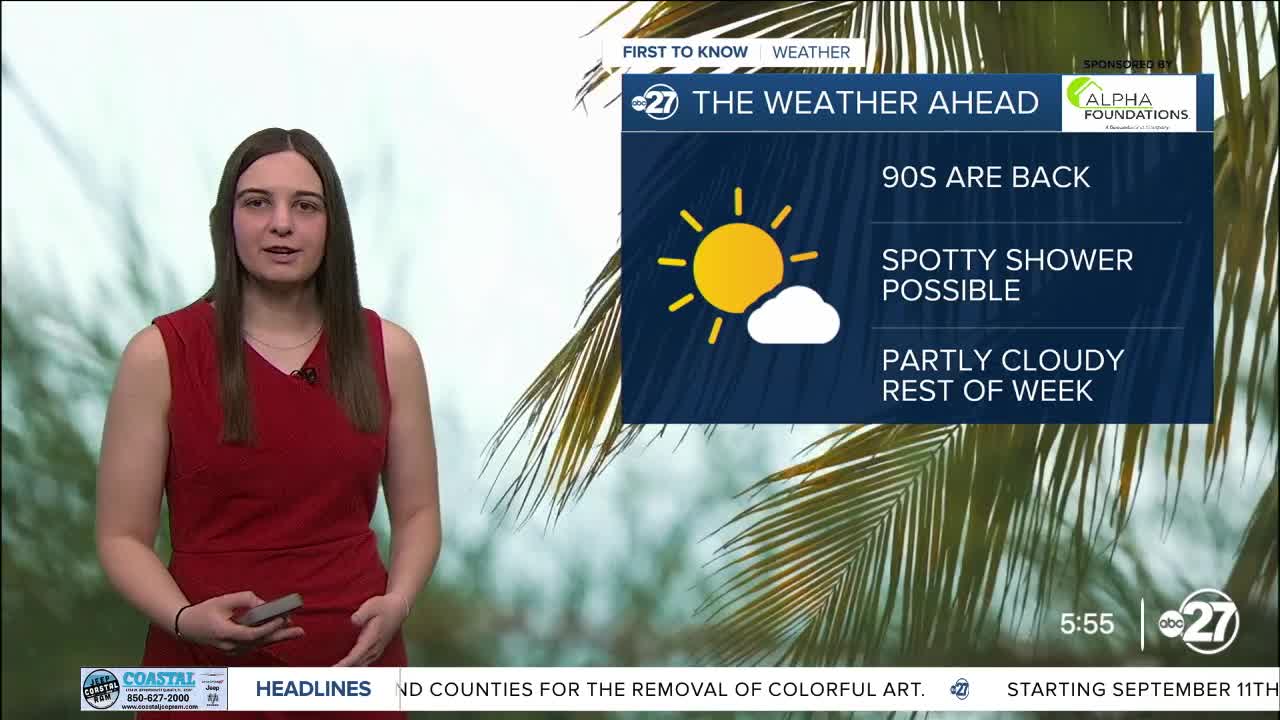


TALLAHASSEE, Fla. (WTXL) — Highs will start to creep back into the 90s starting Wednesday and only rise as the week continues.
Spotty showers are possible along the southeast Big Bend as the sea breeze will pick up this afternoon and collide with our northeasterly wind flow. However, any showers that do pop up will be brief.
Dry air will stick with us for another day or so before moisture gradually returns.
Our hint of fall will come to an end Thursday into Friday as overnight lows will go back to the low to mid 70s with daytime highs well into the 90s.
Rain chances will remain low through the rest of the week and begin to increase to start the week next week as the trough that was helping keep us dry will be pushed out by an approaching cold front. Stalling is expected with this front and depending on where it stalls, some neighborhoods could see more rain than others.
Want to see more local news? Visit the WTXL ABC 27 Website.
Stay in touch with us anywhere, anytime.
