

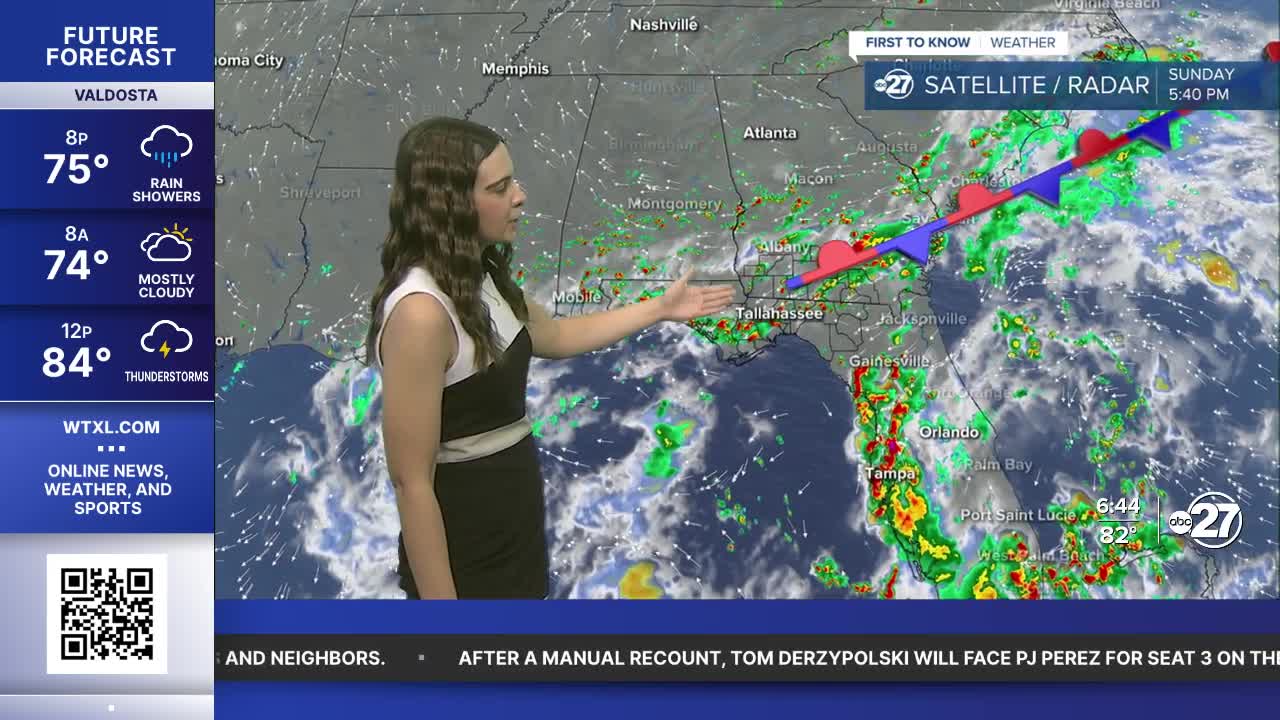


TALLAHASSEE, FL (WTXL) — Expect showers and storms through Sunday evening with cloudy, fair conditions through the overnight.
Monday will be very similar to Sunday, starting off partly cloudy with afternoon showers and storms. The activity will mainly hug the Big Bend starting at around noon - 1 p.m.. Highs will climb to the low 90s with isolated neighborhoods welcoming back the mid 90s.
As the front breaks apart, a high pressure will build to our north. This will allow moisture and eventually showers and storms to move in each day from the east. Coverage will be slightly lower, with more partly cloudy skies.
However, this high will also cause for unseasonably warm temperatures to start the month of September. Heat indices will climb into the triple digits and close to Heat Advisory criteria. If a Heat Advisory is issued, it will be just the third time in two decades that the National Weather Service Tallahassee has issued one in the month of September.
Stay dry and cool!
Want to see more local news? Visit the WTXL ABC 27 Website.
Stay in touch with us anywhere, anytime.
