


TALLAHASSEE, Fla. (WTXL) — A low pressure system is on its approach as we saw a warm front that is attached to it push through early Friday morning. This will cause quite the divide in temperatures throughout the day Friday.
As the warm front moves north, southeastern neighborhoods like Live Oak and Perry will be seeing temperatures well into the 70s this afternoon while northern neighborhoods across south Georgia will continue to see the 50s. However, one thing that everyone will see is the rainfall.
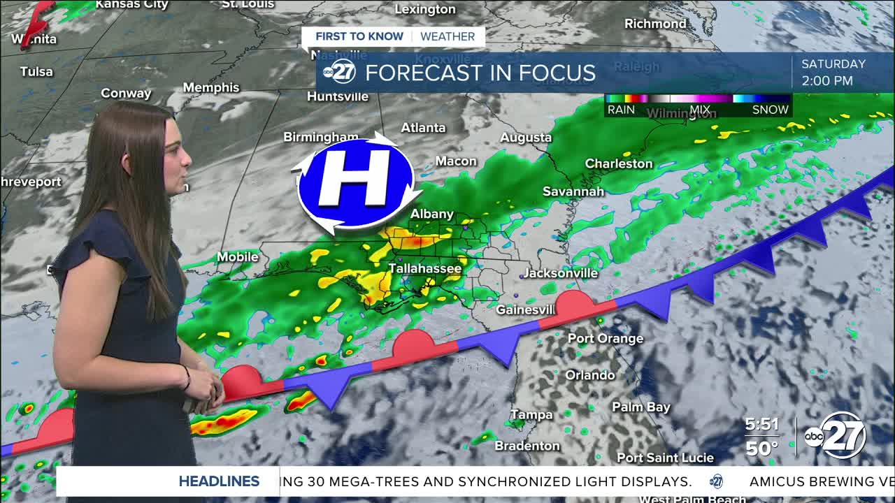
Throughout the day Friday, pockets and waves of rain and storms will move across the area. Some showers will bring heavy downpours and isolated storms with gusty winds.
You may want to have a backup to any outdoor weekend plans, especially for Saturday as that is when the bulk of the rainfall will arrive and will linger throughout most of the day.
Rainfall totals through Sunday could add up to anywhere from 0.50-1.5" with over 2" in isolated neighborhoods.
Stay dry!
Want to see more local news? Visit the WTXL ABC 27 Website.
Stay in touch with us anywhere, anytime.
