


TALLAHASSEE, Fla. (WTXL) — As high pressure moves in Saturday, highs will soar into the triple digits causing dangerous heat across the area! Heat advisories and extreme heat warnings are expected.
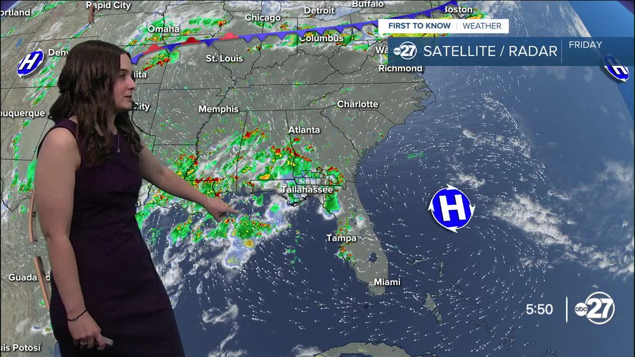
With some moisture still in the air due to the low moving west, shower activity will remain in the picture Friday night before clearing overnight and remaining clear through the weekend, increasing temperatures.
A high will start to move in across the Florida peninsula, drying up our weather and increasing temperatures.
Highs are expected to climb to the upper 90s Saturday and triple digits starting Sunday.
Heat advisories are certain with extreme heat warnings possible if heat indices exceed 113°.
It is important to stay hydrated and keep your body cool as these extreme temperatures can be dangerous. Without any rain to cool us off, outdoor activities are highly discouraged.
Drink plenty of water, take multiple breaks indoors if you have to be outside.
Want to see more local news? Visit the WTXL ABC 27 Website.
Stay in touch with us anywhere, anytime.
