

Some brief storms have popped up this afternoon along the I-10 and I-75 corridors, some bringing periods of heavy rain and small hail. This along with high humidity across the region has made it feel more like a summer day, although temperatures are not quite as warm as they get during the summer months. Over the next few hours, any lingering storms will dissipate and temperatures will fall through the 70s and 60s to early morning lows in around 60 degrees. Skies will see passing clouds filling in to overcast skies by sunrise tomorrow morning.
Tomorrow will start off on the cloudy side, with some areas of patchy fog. Temperatures will rise through the 60s during the morning hours, with more sunshine in the afternoon helping temperatures reach the upper 70s for highs. A few locations may even break the 80 degree mark for highs tomorrow afternoon. There is the chance for an isolated shower or storm in the afternoon, but most of the region will remain dry for the first day of the workweek.
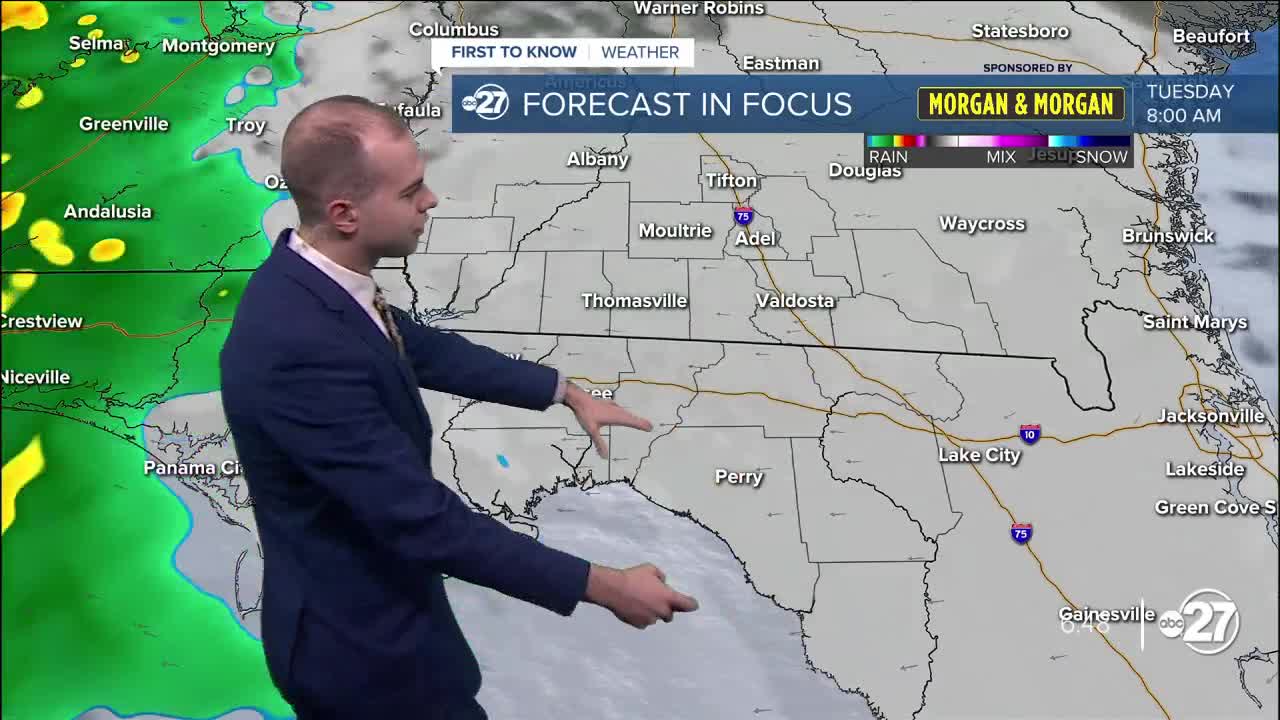
A line of storms is expected to move through the region Tuesday afternoon, once again increasing rain chances. Hit or miss storms continue on Wednesday as highs reach the 80s, with drier weather in store for Thursday. Thursday will also feature the warmest temperatures of the week, with afternoon highs in the mid 80s with partly cloudy skies. Lows throughout the week will be in and around the 60 degree mark. Scattered storm chances return Friday and Saturday when a cold front is expected to move through the region, cooling temperatures on Sunday down into the 40s for lows and 60s for highs.
Get ready for a week with above average temperatures and a couple chances at seeing storms!
