


TALLAHASSEE, Fla. (WTXL) — We are starting off the week with above average temperatures and partly cloudy skies. This will continue until Wednesday when a cold front approaches the area.
Overnight lows Monday will stay on the warmer side in the low 60s for most of the viewing area.
Tuesday will be very similar with a slight (10%) chance for showers as we continue to have an abundance of moisture.
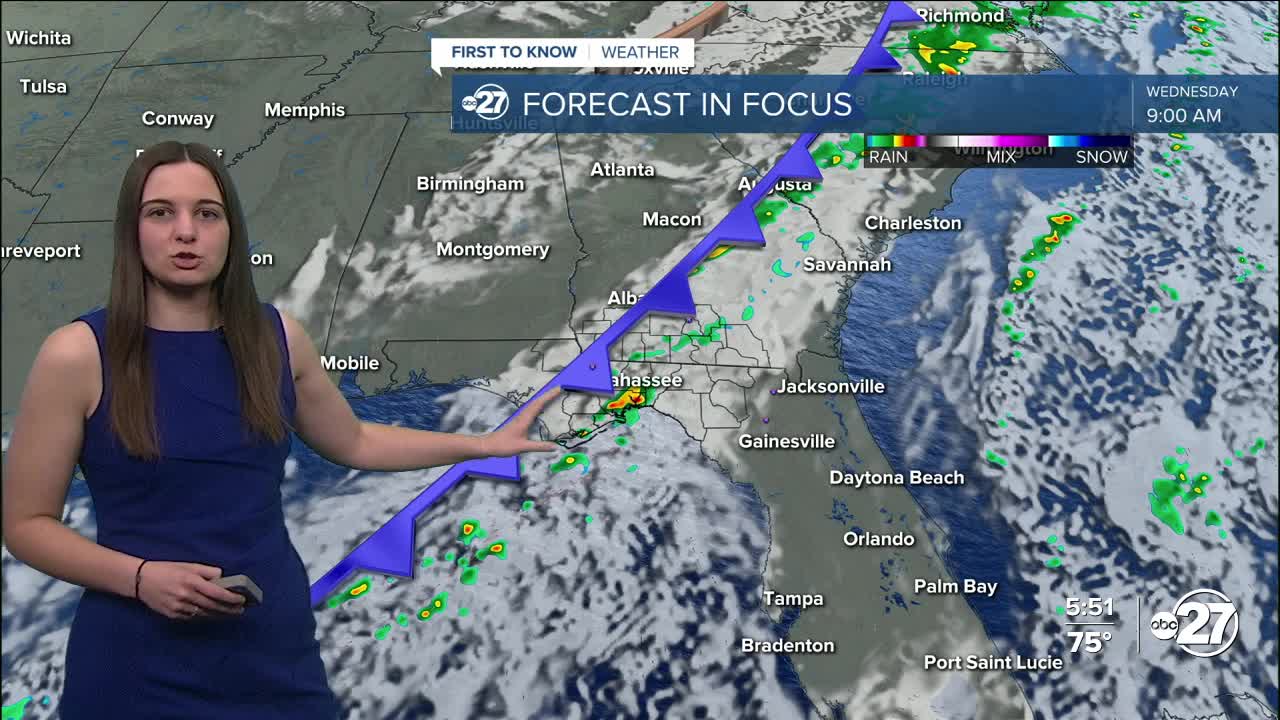
Wednesday is when we start to see a change. A cold front approaches with showers and storms with it. As of right now, a majority of our viewing area is under a Marginal (1 out of 5) risk for severe weather. A few of the storms have the potential to be on the stronger side with gusty winds and heavy rainfall as the main concern.
However, these storms will come in a line, so they will be in and out of your area fairly quickly.
Behind this, beautiful and cooler conditions for Thanksgiving! The skies will clear leaving us with sunshine and cooler temperatures with highs in the low to mid 60s and overnight lows in the 30s for most.
Want to see more local news? Visit the WTXL ABC 27 Website.
Stay in touch with us anywhere, anytime.
