


TALLAHASSEE, Fla. (WTXL) — Warm and fairly humid conditions are here to stay, but not for long!
Saturday night will feature partly cloudy skies with lows in the low 60s.
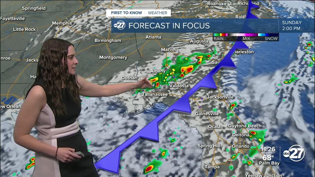
Sunday will be very similar with another round of showers and storms ahead of the strong cold front. These will pass through late Sunday morning into the early afternoon, then temperatures start to drop at sunset.
A few of the storms have the possibility to become severe with the main threat being strong winds.
Sunday's highs will reach the 80s yet again, but this will be the last time we see the 80s for a while. Sunday night, temperatures will drop to the 40s and not leave the 50s throughout the day Monday with winds at around 15 mph, gusting to 20 mph at times.
Monday night is set to be the coolest with lows in the 20s and 30s. Freeze watches and warnings have not been issued yet, but we will continue to keep you updated.
As a reminder, emergency shelters will be opening during the colder nights.
Want to see more local news? Visit the WTXL ABC 27 Website.
Stay in touch with us anywhere, anytime.
