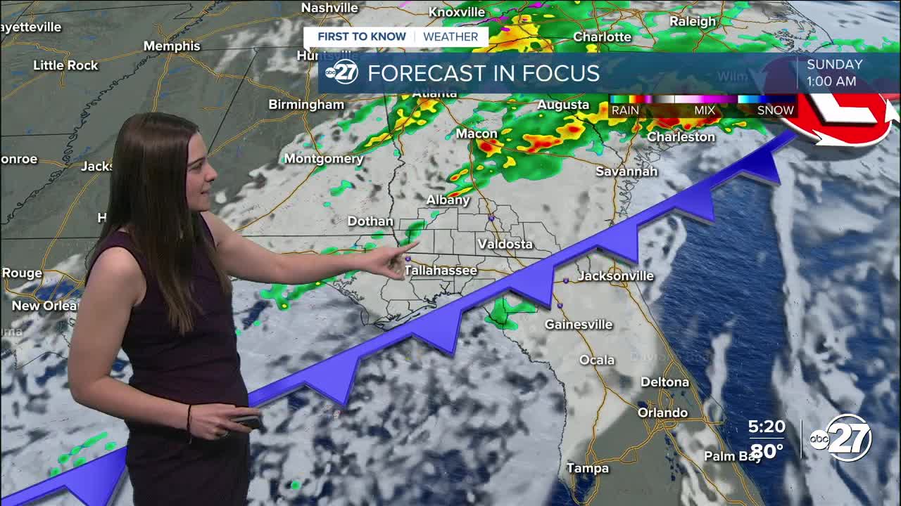


TALLAHASSEE, Fla. (WTXL) — Big changes are coming this weekend! A cold front is on its approach and will provide showers and a few storms to start, and then a big temperature drop comes in behind the front.
We will stay on the warm and muggy side for tonight with temperatures staying in the upper 60s to low 70s and patchy fog in the morning. Highs are right back into the 80s throughout the day on Saturday with showers sprinkled in throughout the day but then picking up in the late evening.
All of south Georgia and small parts of the Big Bend are in a Marginal (level 1 out of 5) risk for severe weather Saturday with the main threat being gusty winds (between 40-50 mph). The time frame would be between midnight Saturday to 4 a.m. Sunday.
Once the storms pass, sunshine will fill the skies, but the attention will then turn to the drop in temperatures. Highs Sunday will remain in the 60s then overnight lows will drop to the 30s and flirt with the 20s come Monday night.
Want to see more local news? Visit the WTXL ABC 27 Website.
Stay in touch with us anywhere, anytime.
