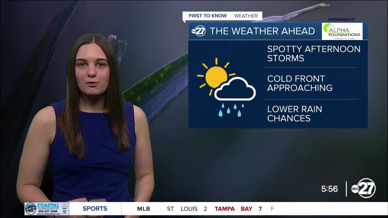


TALLAHASSEE, Fla. (WTXL) — With a few afternoon storms, the rain isn't completely out of the picture just yet, but rain chances will continue to drop through the night.
Ahead of the approaching cold front, a few spotty storms are possible through the afternoon. These will mainly be along the Big Bend and south of places like Valdosta.
However, once the cold front sweeps through tonight, rain chances will be slim to none and overnight lows will be in the upper 60s for most! Dew point temperatures will also drop, so the humidity is out and dry air is in.
This cold front will not be dropping high temperatures, so we will stay in the upper 80s to low 90s for highs throughout the week.
This trend will continue for just a few days before more moisture comes back into the picture, increasing rain chances yet again starting Thursday.
Rain will continue through the weekend with heavy downpours throughout the rounds of showers and storms.
Want to see more local news? Visit the WTXL ABC 27 Website.
Stay in touch with us anywhere, anytime.
