


TALLAHASSEE, Fla. (WTXL) — The cold front has passed and a high pressure has replaced its spot.
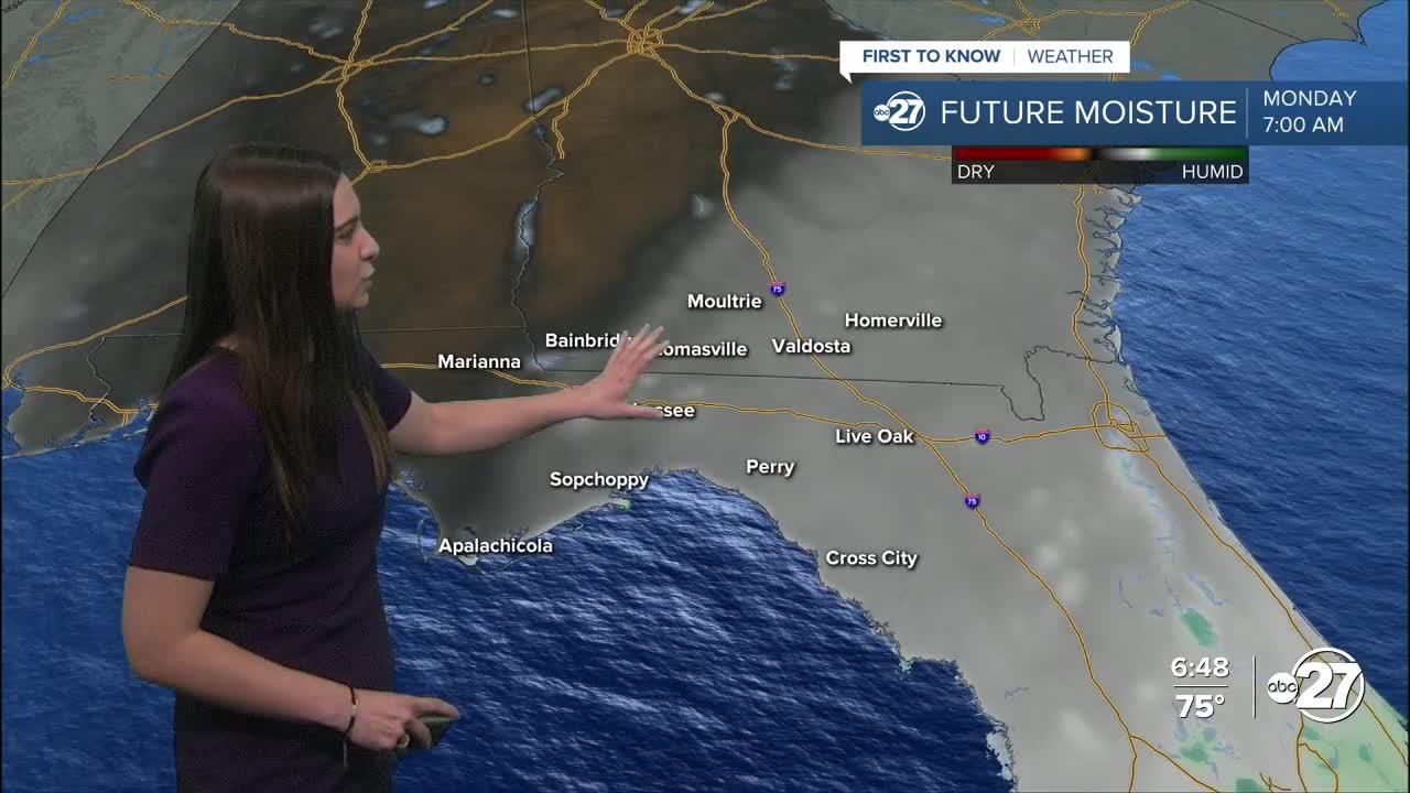
This has caused clearer skies, more sunshine, and drier air. The rain was much needed and nice to see, however, we will be sticking with this drier air for the next few days.
Lows Sunday night will dip into the chilly upper 40s to low 50s before heating up to the 80s Monday afternoon.
Temperatures will quickly warm back up to the upper 80s come Wednesday and our next shot at rainfall comes Wednesday night.
Late Wednesday night and throughout Thursday a cold front approaches the area which could and most likely will pop up more showers across the area. The timing still has a few days to iron out, but any storms that do pop up could be on the stronger side with gusty winds.
Until then, enjoy the cooler temperatures and sunshine while it lasts!
Want to see more local news? Visit the WTXL ABC 27 Website.
Stay in touch with us anywhere, anytime.
