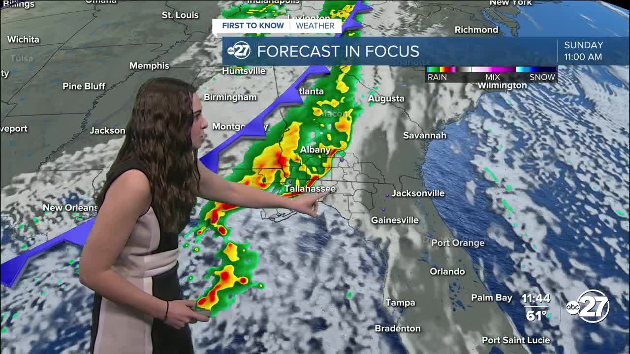


TALLAHASSEE, Fla. (WTXL) — The rest of Saturday will be filled with mostly clear skies and overnight lows in the 60s. Sunday is set up to be a stormy one, but not for the whole day. A line of storms will make their way through over the span of a few hours with dry conditions behind it.
A couple of these storms could pack a punch with a few severe thunderstorms being possible. The wind is the main concern as gusts could reach upwards of 40 mph. Make sure all outdoor items are secure! Due to its quick movement, isolated storms could try to add some spin, but the overall tornado risk is very low.
Jefferson, Grady, Mitchell and all counties west from there have been placed in a Marginal (1 out of 5) risk for severe weather as the storms pass.
Since the line will be fairly quick moving, rainfall won't have time to add up, leaving us with anywhere from 0.25 - 0.5".
Behind this front, a high pressure system will take its place and clear out the skies yet again come Monday. These conditions will continue for the rest of the week.
Temperatures will drop to the low 80s for daytime highs.
Come mid week, another cold front moves through, but this one will be dry. Temperatures behind it will drop overnight lows to the upper 40s for spots across South Georgia and low 50s for the Big Bend.
Want to see more local news? Visit the WTXL ABC 27 Website.
Stay in touch with us anywhere, anytime.
